I feel like we’ve done a speed run from Acadia National Park through Michigan. We didn’t get to see all the people we wanted to, and we didn’t get to spend near enough time with the folks we did get to see. Having a few hard and fast deadlines has made this leg of the journey more stressful than we’d prefer, but life doesn’t always bend to our wishes, does it?
One highlight though was seeing one of our oldest friends again. We hadn’t seen Ed in over 5 years, and not for 6 years before that! Another was meeting Jeff’s nephew’s baby, some friends’ niece’s baby, and Jeff’s goddaughter’s baby. The latter, who when she would fuss, the phrase “To the pantry!!” rang out. (Not to worry, it’s because she likes the lights and colors in there.)
Below are some snapshots from our speed run through Maine, Massachusetts, New York, Pennsylvania, Ohio, and Michigan.
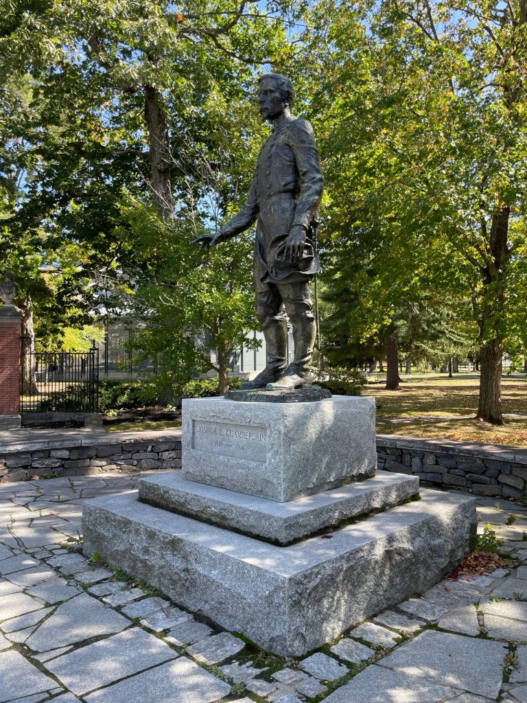
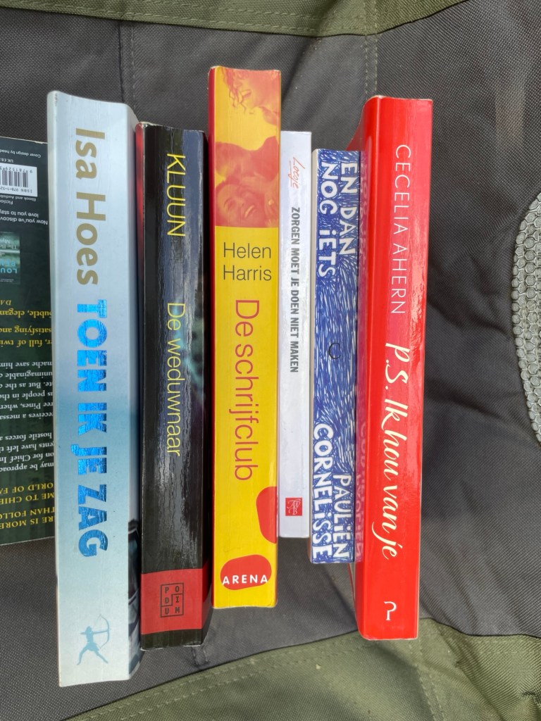
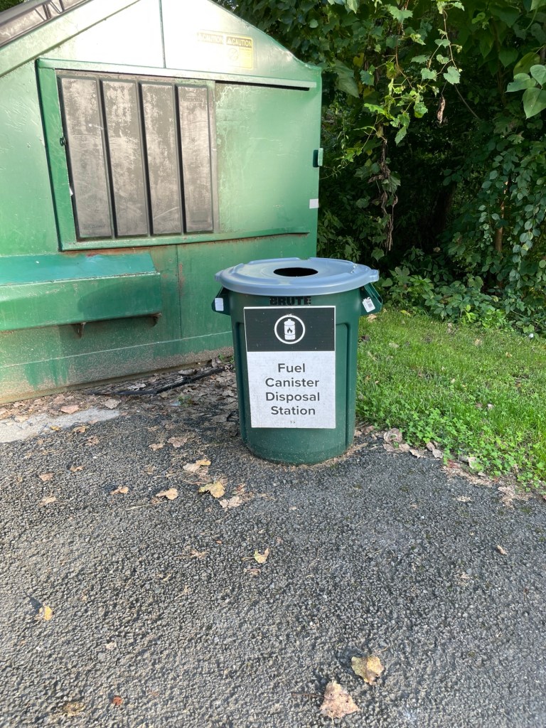
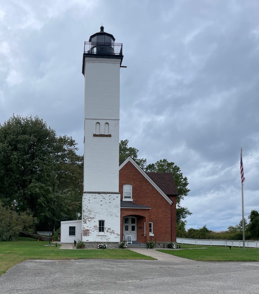
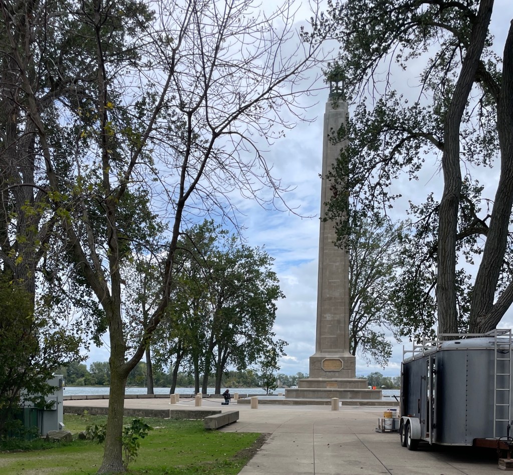
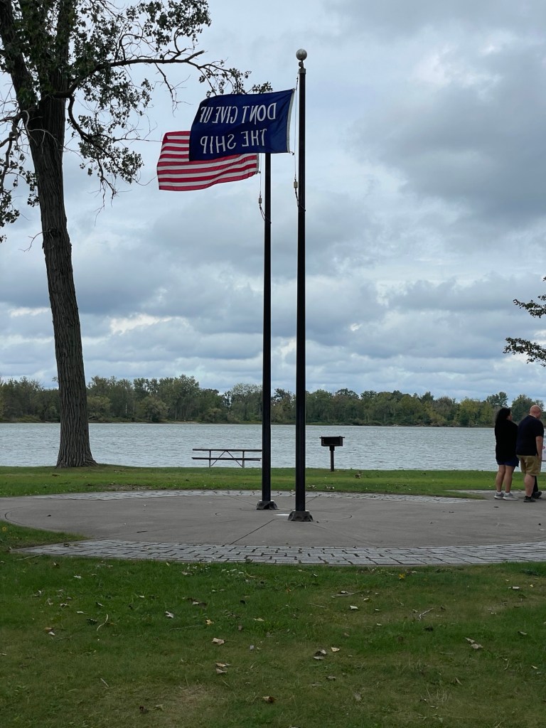
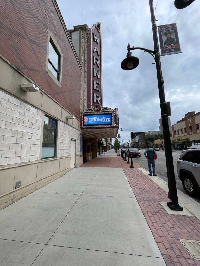
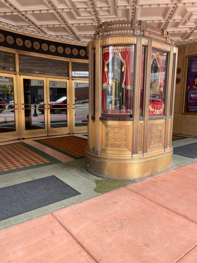
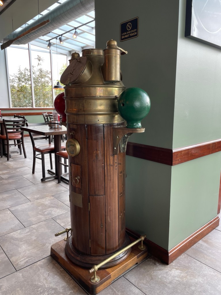
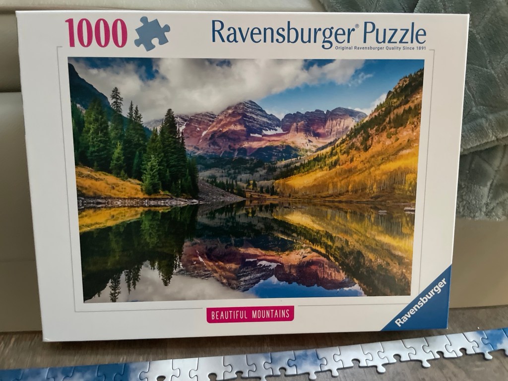
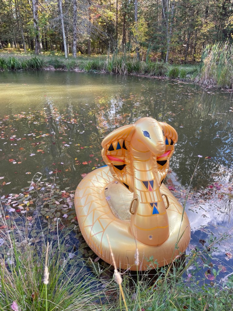
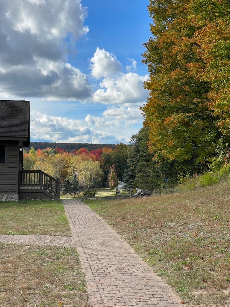
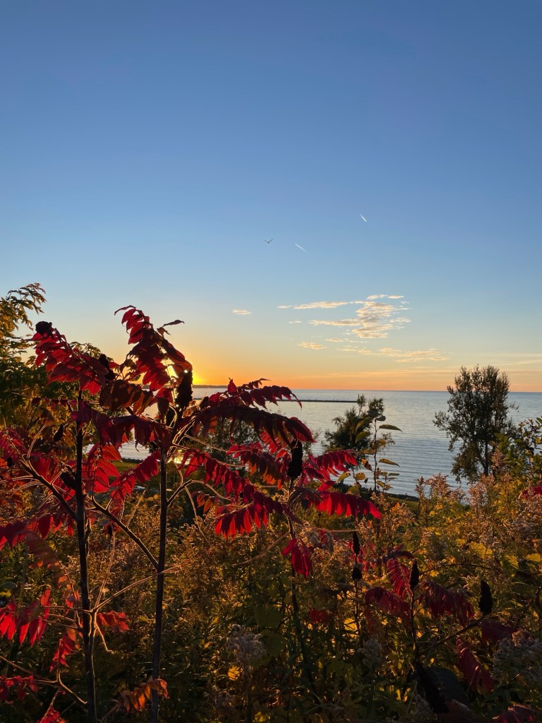
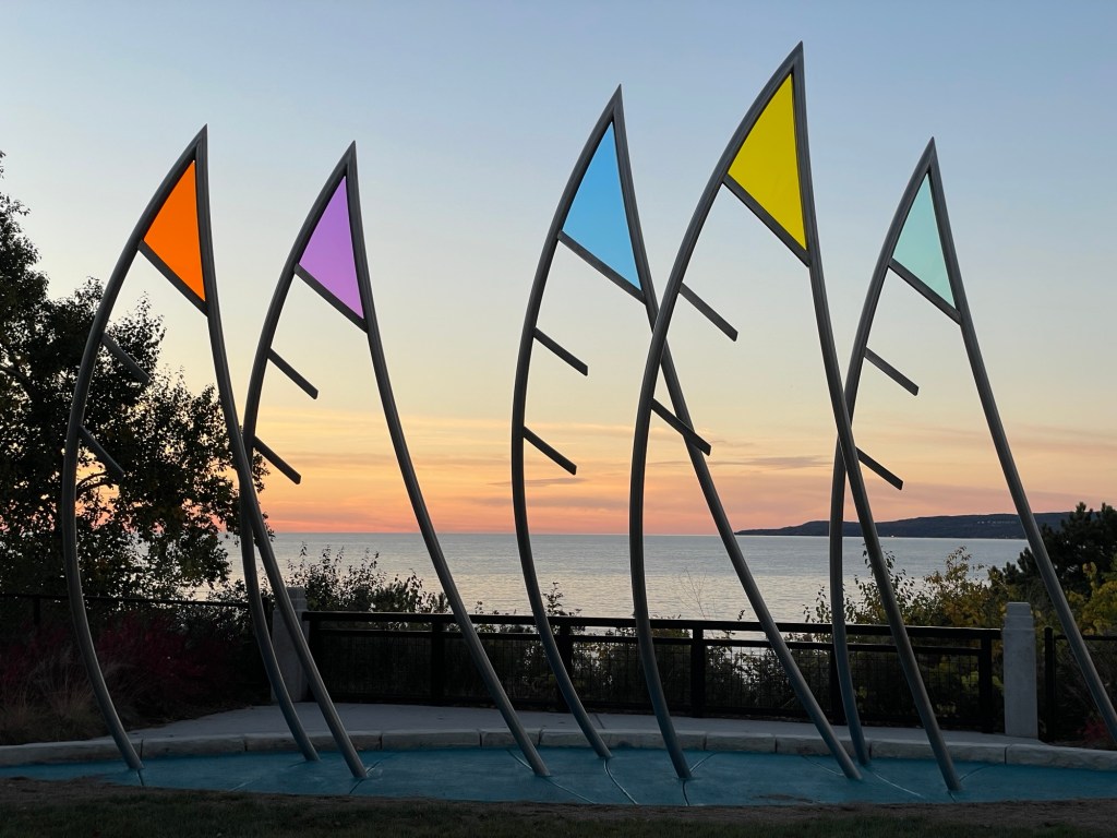
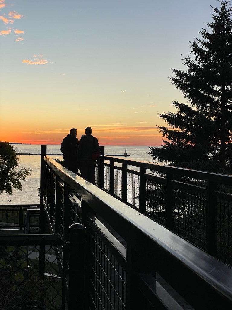
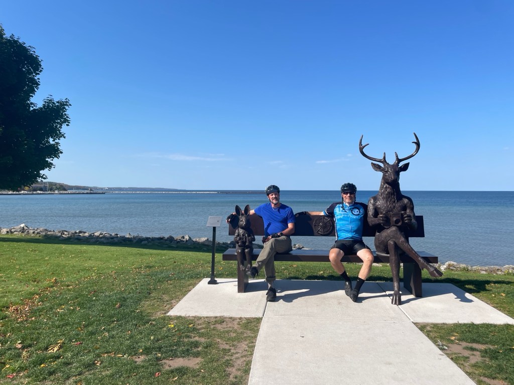
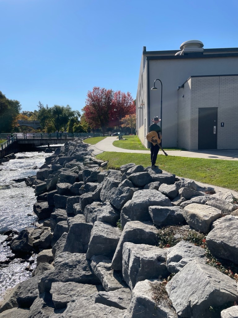
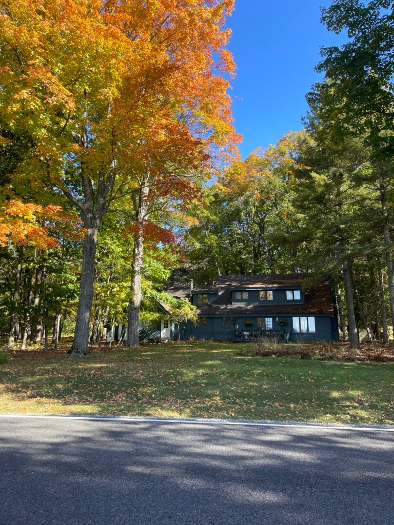
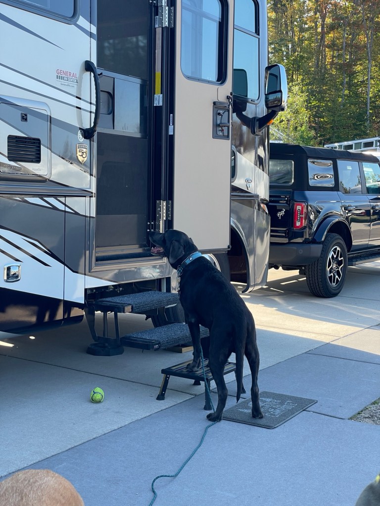
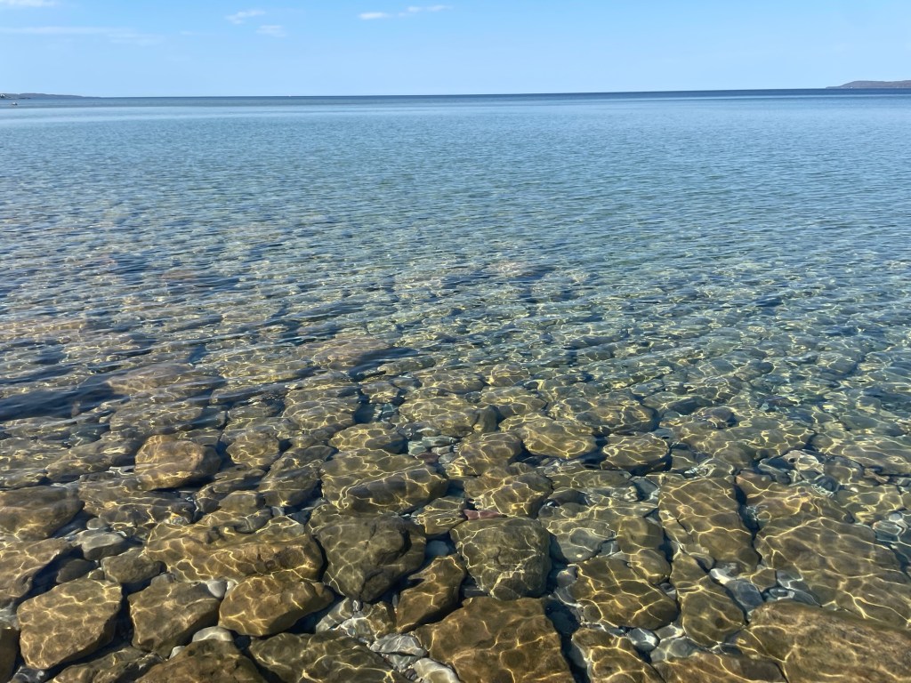
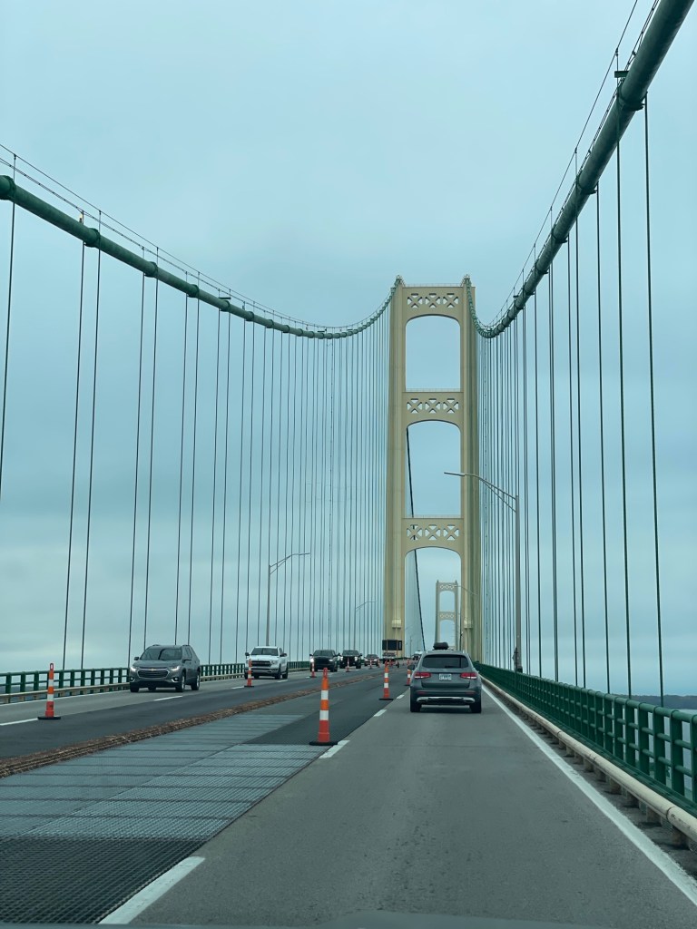
Joshua L Chamberlain, hero of Little Round Top, statue and museum in Brunswick, MaineSix of the many Dutch language books I grabbed at an Albany, NY free library!Can’t refill them, can’t put them in the trash, can’t recycle them. More campgrounds need a fuel canister drop off spotErie, Pennsylvania’s Presque Isle light and keeper’s house. You can tour it; we did notThe Perry Monument is undergoing repairs. Presque Isle hid a fleet of war ships during the War of 1812Commodore Perry uttered the rallying cry, ‘Don’t give up the ship’ and the comment, ‘We have met the enemy and they are ours’One of the last Warner theaters can be found in Erie, PAWith an entrance like this, I’d have liked to peek inside the theater itselfRandom ship-related thing in a harbor-side bar in Erie, PAThe deck was full of leaves and walnuts again by the end of the dayMy mother loves puzzles, so we got her an Aspen, CO reflection scene. Sorry Mom.Warning: A deadly cobra stalks the pond at Mom and Carl’s place!Fall color was coming in hot up at the cabinLake Michigan sunsets are the best sunsetsChange my mindRob, Kate, and Jeff overlooking the Petosky PierWe got lucky and snuck in a ride with Rob on our way out of MichiganFrom the Hiawatha Cycling TrailJust a guy and his guitar by the Petosky City spillwayWhat people can mean when they say they have a “cabin” Up NorthAugie has two modes:In and OutLake Michigan (Rob’s photo)The Mackinaw Bridge’s center grates are being repaired. Worst. Job. Ever.And now we’re in the Central Time Zone.
It’s raining here and I’ve been sitting inside looking at Zillow, mooning over a cheaply priced farm in the upper snow belt, with the full knowledge that I have never raised cows, sheep, goats, chickens, or bees. I’m also fully aware that several years of Boise’s and Denver’s mild winters have made me forget how mind-numbing a true northern winter can be. But it has a big barn, a possibly operational tractor, and a pasture. What’s a former horse girl to do? Jeff, ever the reasonable engineer says big meany helpful things like: Why is it so cheaply priced? Is it in a flood plain? Why are there absolutely no photos of the basement? Is that water damage? So annoying when he’s reasonable. Guess we’ll stick with the nomad life for now.
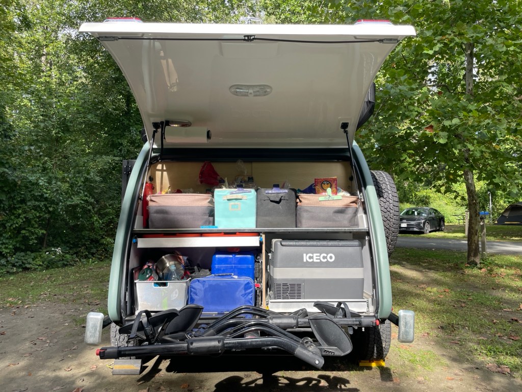
I mean, who in their right mind could give up a kitchen like this?
***
If you’ve heard of Salem, Massachusetts (founded 1626), then you’ve heard of its infamous 1692 witch trials. The city’s shame ran so deep, that immediately afterwards, city leaders deliberately removed and amended references to the trials in official city documents. Facts? Inconvenient. Those buckle-wearing Puritans, it turns out, were a lot less honest and morally upright than my elementary teachers led me to believe. Later administrations in Salem also downplayed the trials. Some outright refused to even talk about them — for centuries.
Nowadays? Bring on the controversy. Highlight the injustice. Tourism is booming and a comical version of the very specter that lead to the death of dozens and the imprisonment of more than a hundred—a witch on a broom—has been made part of the city’s official logo.
And that logo is everywhere.
Ev. ver. y. where.
When Bob and Pam (of the Airstream) suggested we join them in Salem, none of us were surprised to see a lot of short black dresses, gauzy cobweb-inspired lace, pale skin, and dyed black hair on the city’s young visitors — pointy hat optional.
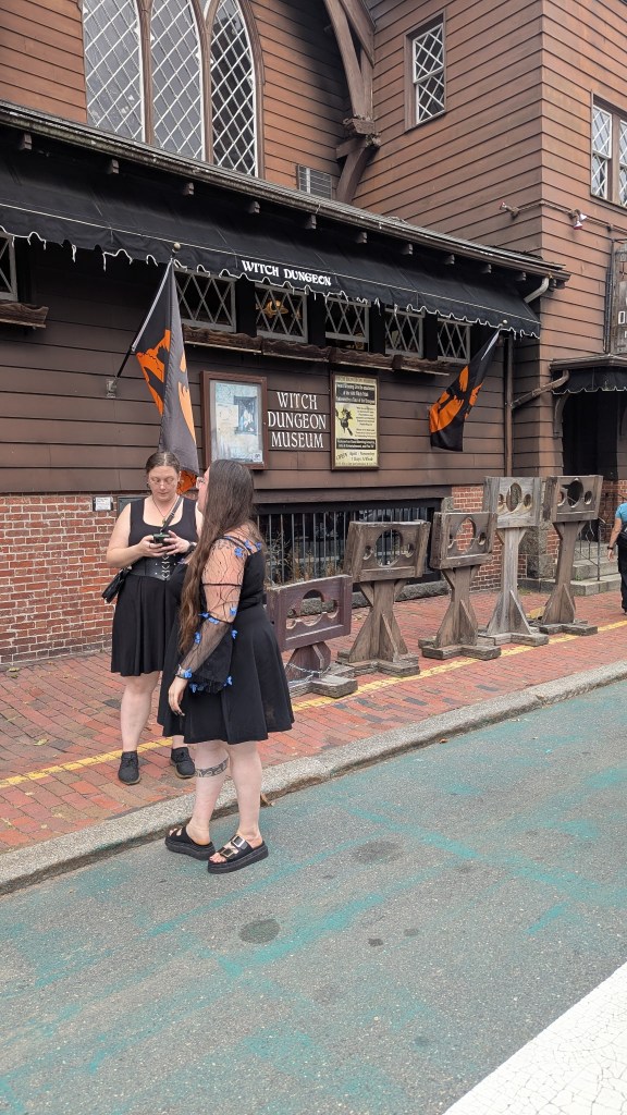
The unwritten dress codeLL Bean (Pam) and RE (I) didn’t get the memoPhotos by Bob
Fun fact: The Witch Dungeon Museum is located where the accused were once held, the actual honest to god dungeon, while awaiting trial. Congrats, Salem, new morbid badge achieved!
Ok, I know that sounds kind of curmudgeony. In truth, I love all the trappings of modern day spooky season: jack-o’-lanterns, corn stalks, hand towels decorated with ghosts, bats, and black cats. I can’t get enough of little kids trick or treating. I scarf down gourds in every form (bake ‘em, mash ‘em, stick ‘em in a stew). It’s an added bonus if I get some falling leaves, corduroy, and a warm, heavy sweater to round it all out.
What I didn’t know about Salem is that it has such a long and amazing — AMAZING — maritime history, highlighted by the National Park Service, of course.
Cue angels singing.
Since Pam and I had both read The Witches by Stacy Schiff leading up to our visit, we decided to check out some of the less kitschy Salem sites and focus on the historically accurate parts of the Salem Witch Trials, bypassing the pro-offered side-serving of gore and palm reading. Schiff’s book wasn’t a quick read, but its history is quite thorough and thought-provoking in an infuriating WTF were these judges thinking kind of way. (Spoiler alert: Schiff does not subscribe to the poisoned wheat hypothesis.)
If you ever get there, the Salem Armory Regional Visitor Center, also run by the NPS, has a couple of excellent introductory films. While I feel I can recommend the Schiff book, your partners and friends should be prepared for you to break into sudden rants about 17th century Puritanism and patriarchy in general.
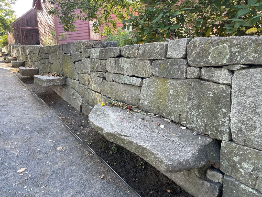
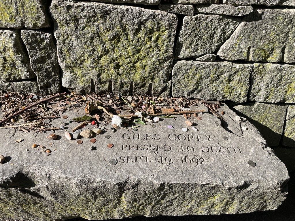
The city’s memorial to 20 of the victims is moving. Adverbs don’t adequately describe how moving. Nineteen people were hanged as a result of the village’s ludicrous trials. Another died while being interrogated. Approximately 20 more died in prison, awaiting either trial or execution (the numbers aren’t exact). And if some powerful people outside of Salem Town and Salem Village (now called Danvers) hadn’t stepped in and stopped the swirling madness, I don’t want to even imagine how many more might have been murdered in the name of spiritual warfare.
Individual ledges form a U on the perimeter of a small modern park next to the city cemetery. Refused the honor of burial in consecrated ground after death, this is the closest 20 of them ever got to headstones.Giles Corey Pressed to Death Sept. 19, 1692 Corey maintained his innocence to his dying breath, literally, as did his wife who was hung three days later.
Every person killed had maintained their innocence to the very end. It quickly became apparent to people being accused that pleading innocence was a death sentence. The town’s leaders seemed to want, need, to pin the town’s many social ills on an easy target, so in the end many people claimed to be witches, some prophylactically, and went straight to prison, bypassing both trial and execution.
***
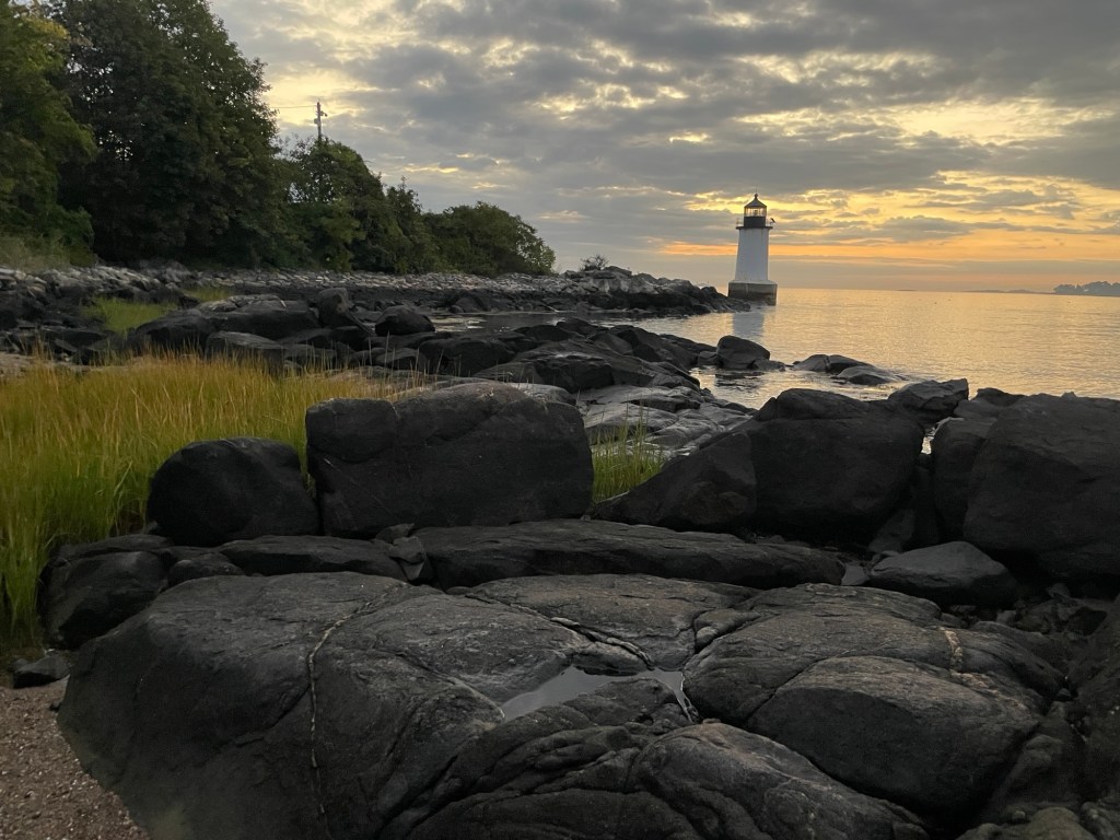
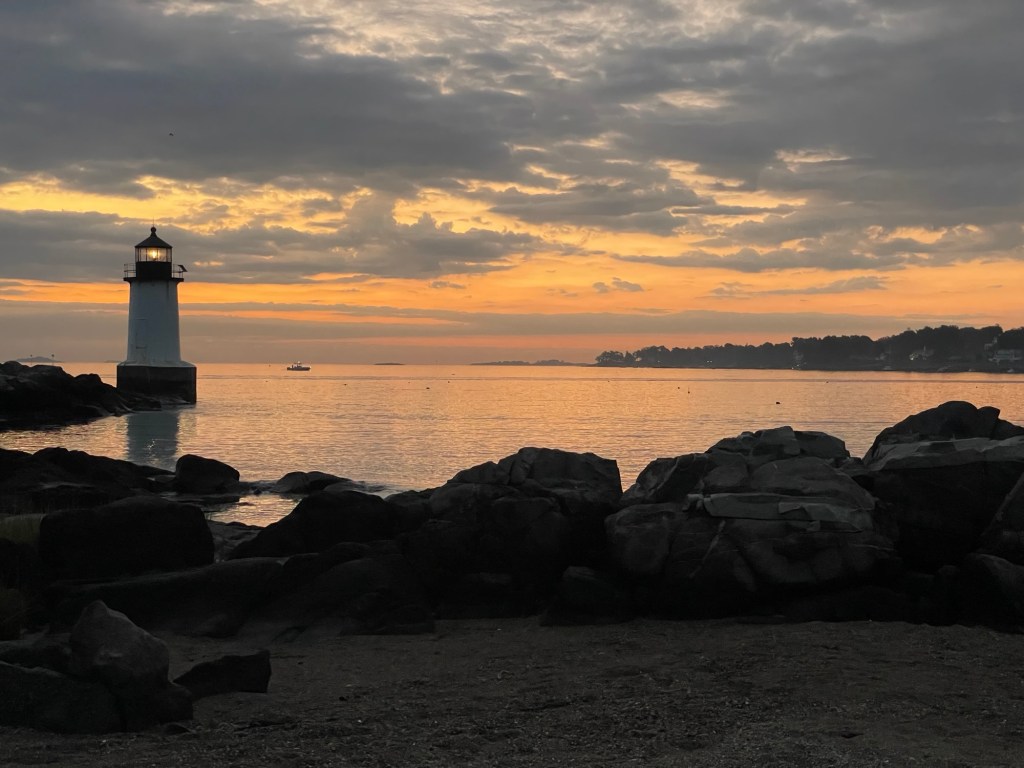
Fort Pickering Light at sunrise from the no frills but perfectly located campground on Winter Island Park
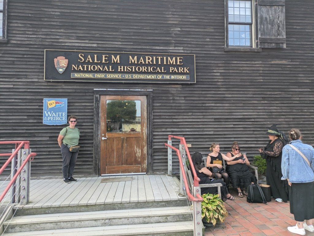
One of the first things we noticed after walking down Derby Street was a converted Custom’s Hold building, which now serves as the dockside gift shop for the Salem Maritime National Historical Park.
Bob got both sides of Tourist Salem in one shot. I’d say the ratio is pretty accurate.
The volunteer cashier kindly acted as an impromptu (and excellent) information booth as well. She suggested when to visit certain buildings to get the most bang for our limited time buck and told us about the Armory Visitor Center’s many resources. If you’re ever in Salem, I recommend starting at the port and working inward.
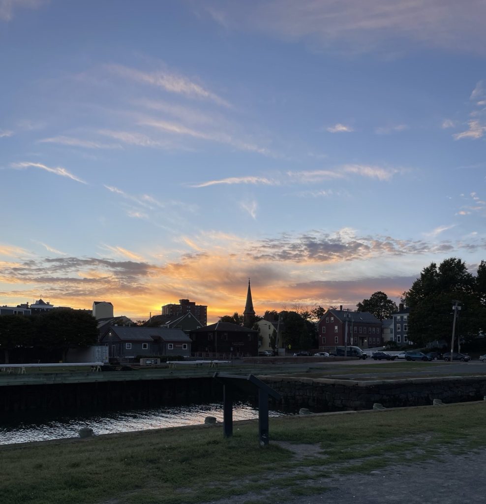
Derby Wharf, looking west as the sun sets
The dock area is a remarkable setting overall, full to the brim with maritime history and best explored on foot. If the weather is fine and staff is available, you might be able to get a good look at the Friendship of Salem, a replica of the two-decked, three-masted, square-rigged tall ship docked at Derby Wharf. Unfortunately, it was buttoned up tight and undergoing some mast repairs while we were there.
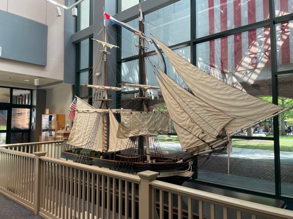
This scale replica of the Friendship is located inside the Armory Visitor Center
Already decades before and for centuries after its infamous witch trials, Salem was one of the region’s most important ports and shipbuilding centers. Money from international trade flowed like wine, filling the city with mansions full of exotic goods from around the world. The town also played an instrumental role during the Revolutionary War, serving as a base of armed resistance and privateering. In fact, Salem-based privateers are credited with taking more than half of all British ships captured during the war.
Maybe you’ve noticed already, but the name Derby is seen everywhere in Salem. Elias Hasket Derby was the son of a ship captain, but because of this mismatched eye color (seriously, it was considered a bad omen) Elias never went to sea. Instead, he learned bookkeeping and ran the family’s maritime empire while his brothers risked their lives out on the open ocean. As instructed, we toured Elias Derby’s home first, a starter mansion located across the street from the Derby Wharf and within spitting distance of the Custom House, which we toured next.
Nathanial Hawthorne, born in Salem in 1804, was appointed by President Polk as a Salem Custom House Surveyor, overseeing the Custom House’s ship inspectors and the men who weighed and measured goods for taxes, in the mid-late 1840s. He earned a small salary, but the bulk of his income came from a portion of the fees levied on each ship’s cargo. Surveyors in larger towns, such as Boston, therefore would earn more than those in smaller towns. But all earned more than professions such as teachers. About 10 to 25 times as much. It was during Hawthorne’s time in the Salem Custom House that he got the inspiration for and began work on his classic novel, The Scarlet Letter. The novel is based loosely on his ancestor’s role, one of the three judges, in the Salem Witch Trials. After being removed from office after a presidential election, Hawthorne wrote an opening screed that named names about abuses and incompetence at the Salem Customs House.
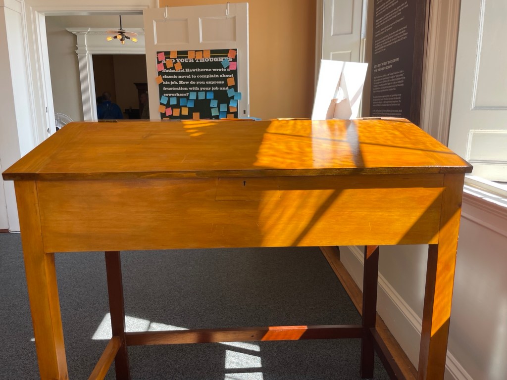
An exact replica of the desk Nathaniel Hawthorne used when he was Surveyor. The original is in the Peabody Essex Museum. Back then, you had to bring your own desk to a government desk job. That didn’t change in the Custom Service until the 1870s.
At the Custom House museum, we learned that government jobs of the period were awarded directly by Presidents to loyal party members as part of the “spoils system.” That system only ended when Congress passed the Pendleton Civil Service Reform Act in 1883. Up to then, it wasn’t what you knew but who you knew that counted. You didn’t apply for a job; you lobbied for it. You didn’t need to have any relevant experience or education. Nepotism and corruption were as common as water in a rainstorm. Just imagine if it we had that going on in important government positions today! Oh wait, never mind.
On our last day of roaming Salem, we headed over to the western side of town and visited the Ropes Garden. Below are a few of my favorites.
Back at the campground, we had dinner, headed back to the campground’s beach, and enjoyed our last few hours together before Bob and Pam headed to Cape Cod and we started the long trek west.
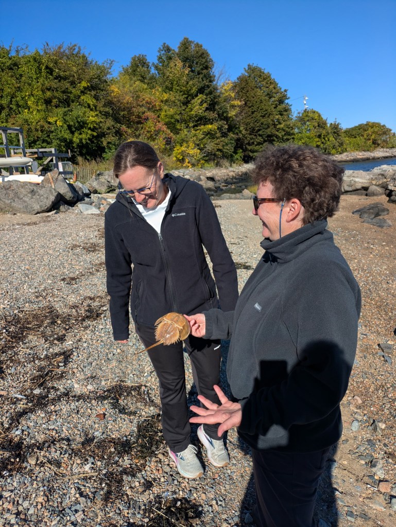
A biologist by training, Pam is all about touching dead stuff on the beach. Me, less so.Pam channeling her inner cormorantPhotos by Bob
I touched seaweed and let its slimy tendrils slip through my fingers, explored its air filled buoyancy bladders/pods, peeked at the marine world living beneath it all, and found it fascinating. This is a big step for someone who could barely stand to touch cooked spaghetti for decades.
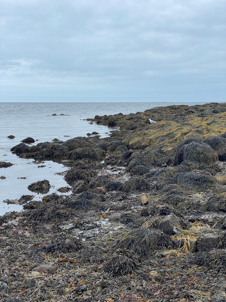
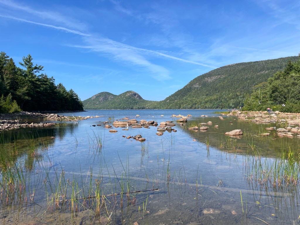
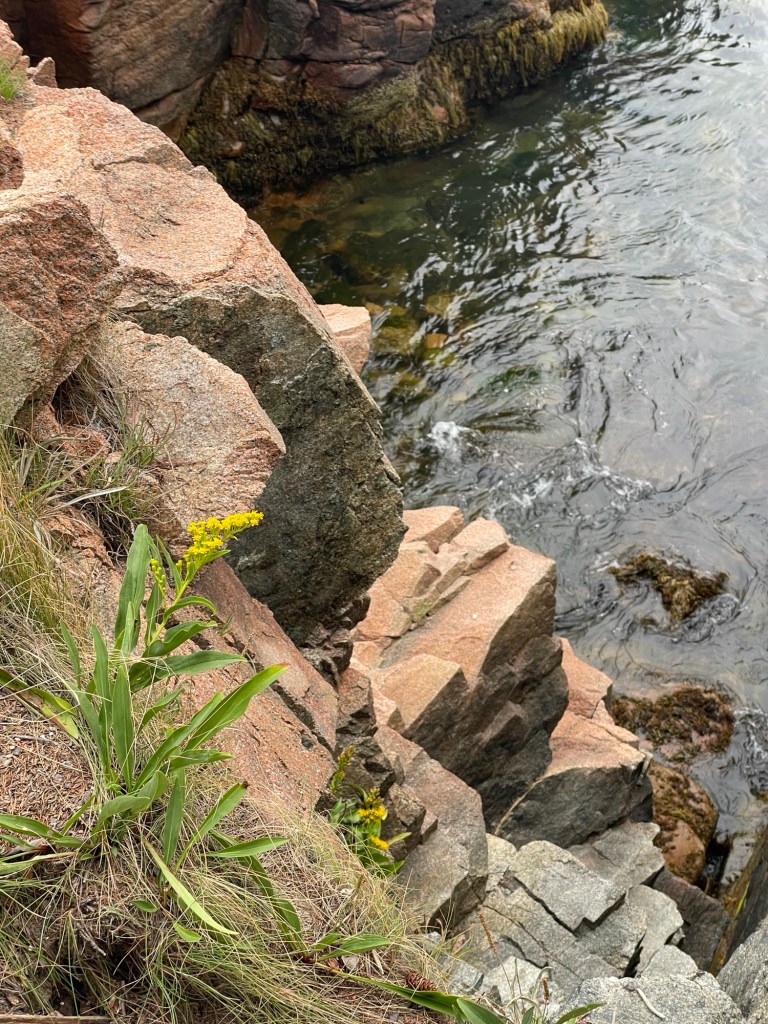
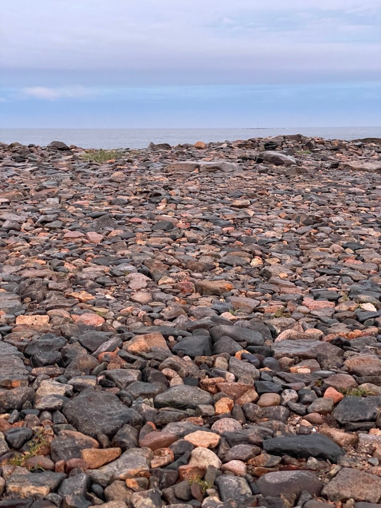
The Atlantic was just a short walk from our spot at Seawall Campground, during our much too short of a stay at Acadia National Park in Maine, and I spent a fair bit of time on its shore. We drove to lots of beaches, trails, and cliffs in and around Acadia, but our campground’s little day park was probably my favorite spot. Few people visited it for more than a couple of minutes, which is a shame because the beach’s atmosphere felt different every time I saw it. The tide pools, the multicolored water-smoothed rocks, the sunrises and sunsets, the high and low tides — I loved it all.
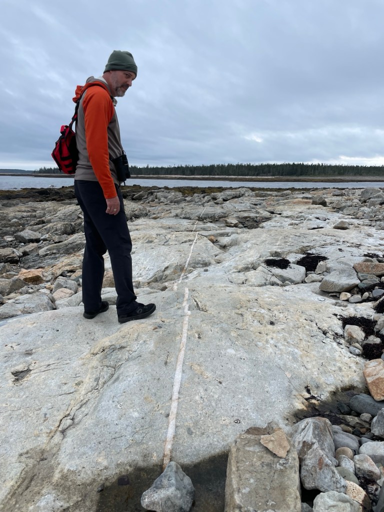
Look at that intrusion line. We are finding Geology tremendously interesting. Volcanoes! Earthquakes! Tectonic plates! Glaciers!
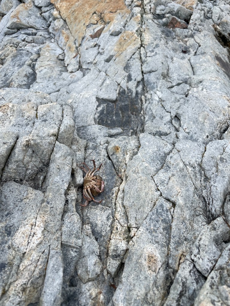
Because of where things were in the tide cycles, we usually saw the coastline when it was around low tide, so we had lots of rock hopping and tide pool exploring time. The local gulls had a smorgasbord of shellfish and crustaceans to pick from based on the number of claws, carapaces, and even entire bodies we found. Imagine being a crab. You’re scurrying around in a rock pool, minding your own business, when suddenly a seagull snatches you up and you’re flying through the air, only to get dropped onto a jagged boulder field below. Lights out. Game over. The indignity of it all.
It just wasn’t your day, little buddy.
For things to make sense, going forward, I should give you an idea of how Acadia National Park is set up, if you haven’t been there already. Imagine two oddly shaped lungs, attached at the top. That is the island that Acadia NP is on. You drive onto a bridge from the mainland, cross into Mt. Desert (pronounced dessert but we’ll get to that later), and almost immediately have to turn east or west. The eastern “lung” has Bar Harbor and most of the things that Acadia is famous for, as well as the main visitor center. The western “lung,” where we were camping, is known as the quiet side. It has a smaller section of the park, but also far less traffic. It’s a fair trade off in my book.
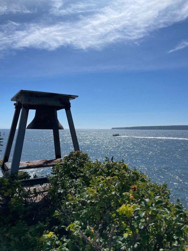
This photogenic harbor bell on the western side used to be rung by hand on foggy days and nights to alert ships that they were near the rocky coastline
On our first full day, we stuck close to camp. The whole of Acadia runs up alongside and weaves between the local communities, rather than being a stand-alone park with clearly defined inside and outside boundaries. Because of this, you run into interesting little towns constantly, especially on the western peninsula.
We found cute little shops and a very good breakfast restaurant, several tiny post offices and libraries, and according to one travel book, the best lobster pound in the region. Of that we can neither confirm nor deny, as it’s only open one day a week and we missed that day. If you’re wondering what a lobster pound is, like I was after seeing the term for the umpteenth time, it’s a tidal enclosure designed to temporarily hold live lobsters in a natural, controlled marine environment until conditions are favorable for their release. One condition, of course, being that a paying customer wants a cold (mayo-heavy) or hot (butter-drenched) lobster roll.
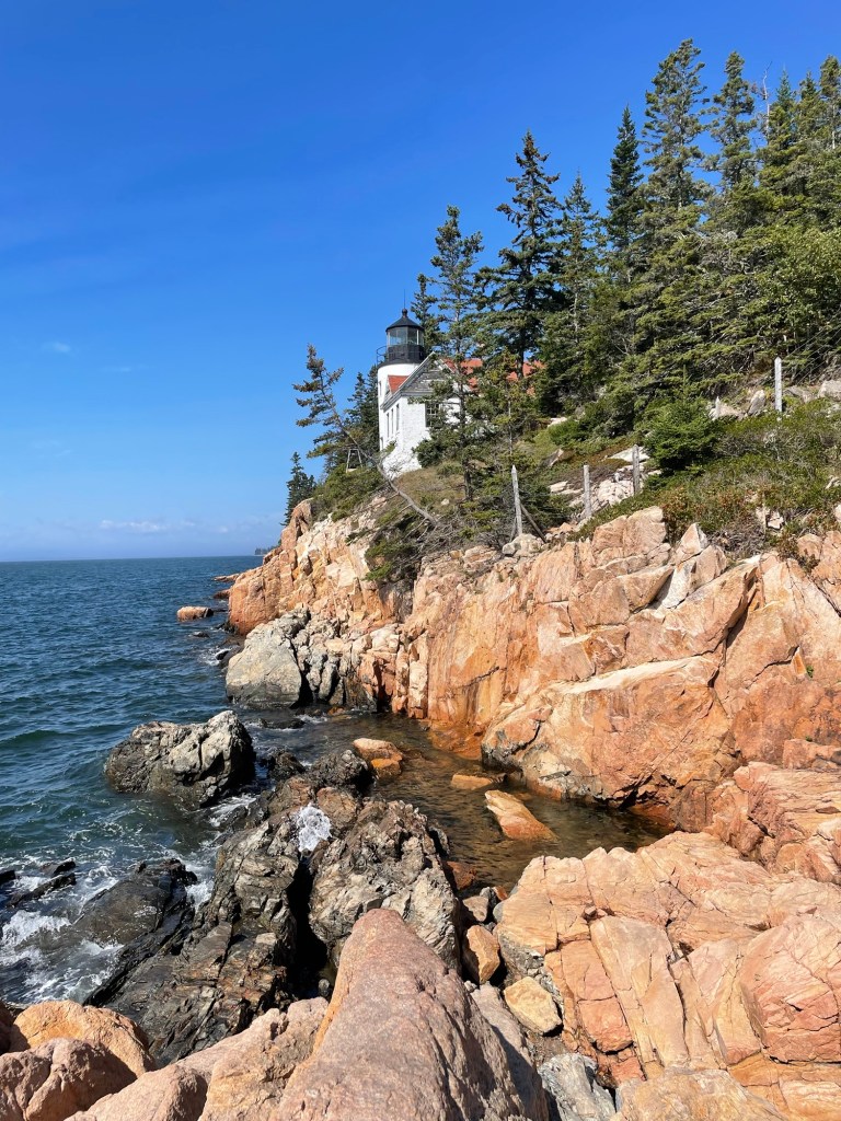
Although beautifully situated, the Bass Harbor Head Light station is no longer inhabited. Reading about the people that used to live in the shoreline’s numerous keeper houses, I came away with the feeling that humanity lost something important when the lights lost their families. (Photo by Jeff)
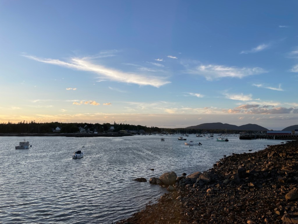
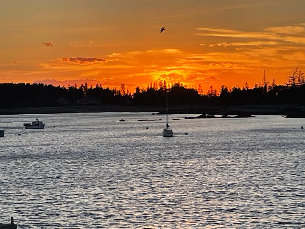
After doing some hiking along the coastline with about a hundred others, we headed back to camp for a meal, some cycling, and then quiet reading. On a whim we decided to hunt out a spot to catch the sunset, as the skies looked promising.
We parked out behind the wharf in a cute little fishing village and absolutely did not park illegally in the half empty ferry boat lot, as that was expressly prohibited.
Waking early the next morning, we decided to head to the island’s biggest town and tourist draw: Bar Harbor (Ba Hahba). Since Acadia is one of the most visited National Parks in the United States and a bit of a congestion nightmare, we made full use of the free Island Explorer buses that loop between multiple points in and around Acadia NP. Those bus drivers are gods of the asphalt. They stick to the posted schedule, even if it means cutting their own breaks short. They deal with clueless tourists, inconsiderate drivers, and distracted cyclists nonstop, and they do it with jokes, smiles, a helping hand, and genuine kindness towards their passengers.
The #7 goes from Seawall Campground to Bar Harbor, stopping at the northern end of Eagle Lake. After doing the obligatory day in Bar Harbor, highly overrated in our opinion, we decided to take our bikes along on the next trip (each bus can carry up to 6 bikes) and rode around on a few of the carriage roads. John D. Rockefeller was a waste of carbon for many of the things he did in life, but his decision to have a series of crushed stone, recreational carriage roads built was pure brilliance. He and landscape architect Frederick Law Olmstead really did make the carriage roads and their unique stone bridges look somehow inevitable.
Eagle Lake with the glacial Bubble formation in the background
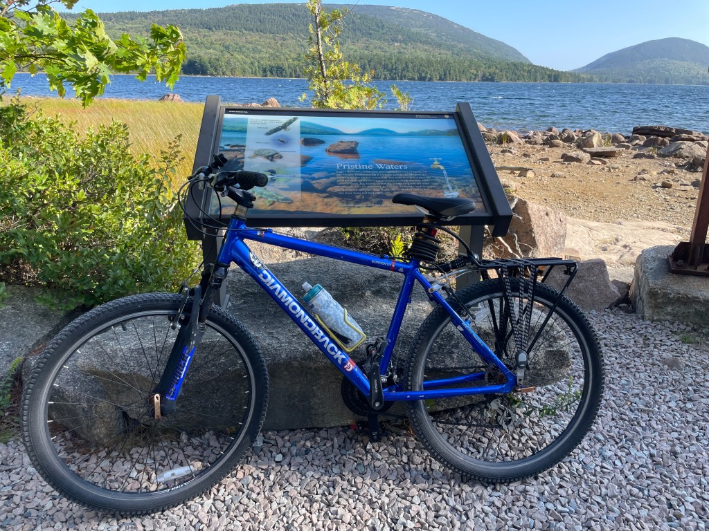
While most people zoomed by us on rented e-bikes, we labored up the many hills under our own power. My thighs and lungs had a not so quiet conversation with my oxygen-starved brain about the wisdom of taking my 35 pound, vintage mountain bike along on this road trip. With over 50 miles to choose from, these carriage roads would be the ultimate running & cycling training course.
It’s only appreciated when the crying pedaling is all done
There are a few things you can be sure of at Acadia.
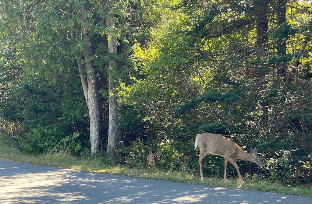
1. You’re going to see deer, a lot of deer. They’re as common as ticks and just as brazen. They will graze within a few feet of you and hold up traffic like an influencer trying to get the perfect “All alone on the beach in Ibiza” shot, while 200 people fume on the stairs behind them.
A fawn and I had a staring contest while mom nibbled breakfast.
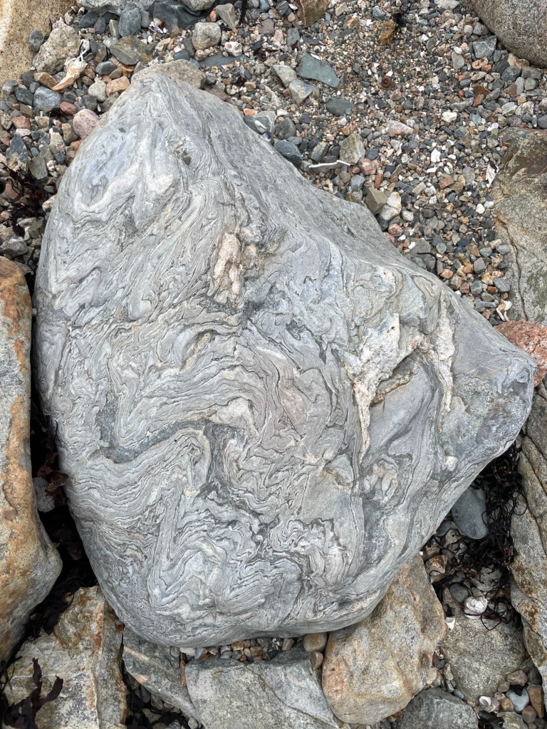
2. You’ll scratch your head over some seriously weird rocks. The large, strangely shaped rock with folds aplenty below is a sea-polished chunk of Gneiss from the Cambrian age. From what I’ve read, it likely broke off fromup on the (Mt Desert) Ellsworth Schist range. We found it on Seawall Beach. As you can see, it really stands out amongst all the other beach rocks. Gneiss (pronounced nice) is a metamorphic rock tightly folded over eons by extreme heat and pressure deep within the earth. Now I know to look for alternating layers of light and dark within the tight folds.
That’s one Gneiss rock. Sorry, I had to.
3. You’ll see more snails in a single rock pool than you ever thought possible. What first looked like holes carved into rocks turned out to be small snails. I’m not sure if they get bigger with time or just stay small. Either way, Jeff was fascinated by them.
Snails, seaweed, and saturated stones
4. Everyone will look confused the first time they hear Mt Desert pronounced as Mt Dessert, a bastardization of the French pronunciation. When French explorer Samuel de Champlain was exploring the coast in 1604 — yes, that de Champlain — he noted that a prominence on the island looked barren and so named the area Mont Désert (Bare Mountain).
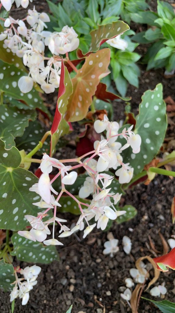
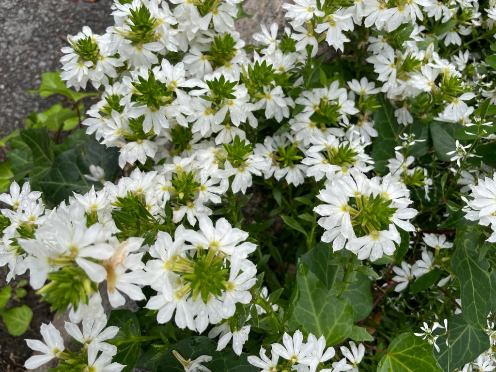
A local gardener had several pots of Fairy Fan-flower, possibly my new favorite flower.
Our last full day was forecast to be a rainy one, so we headed out early to drive the loop road before the deluge arrived. In the end, I think we both enjoyed the trip at least, if not more, than if the weather had been clear. The clouds made certain aspects of the landscape really pop out, and it all looked “moody.” My guess is there were probably far fewer cars on the road, too.
We started at the visitor center, which did not have an intro film. Jamie and Jeff’s second rule of Visitor Centers: Have a free introduction film. (First is clean bathrooms.) Then we joined the automobile queue and began the one-way trip past the eastern coast, of the eastern peninsula. It is, no surprise, gorgeous.
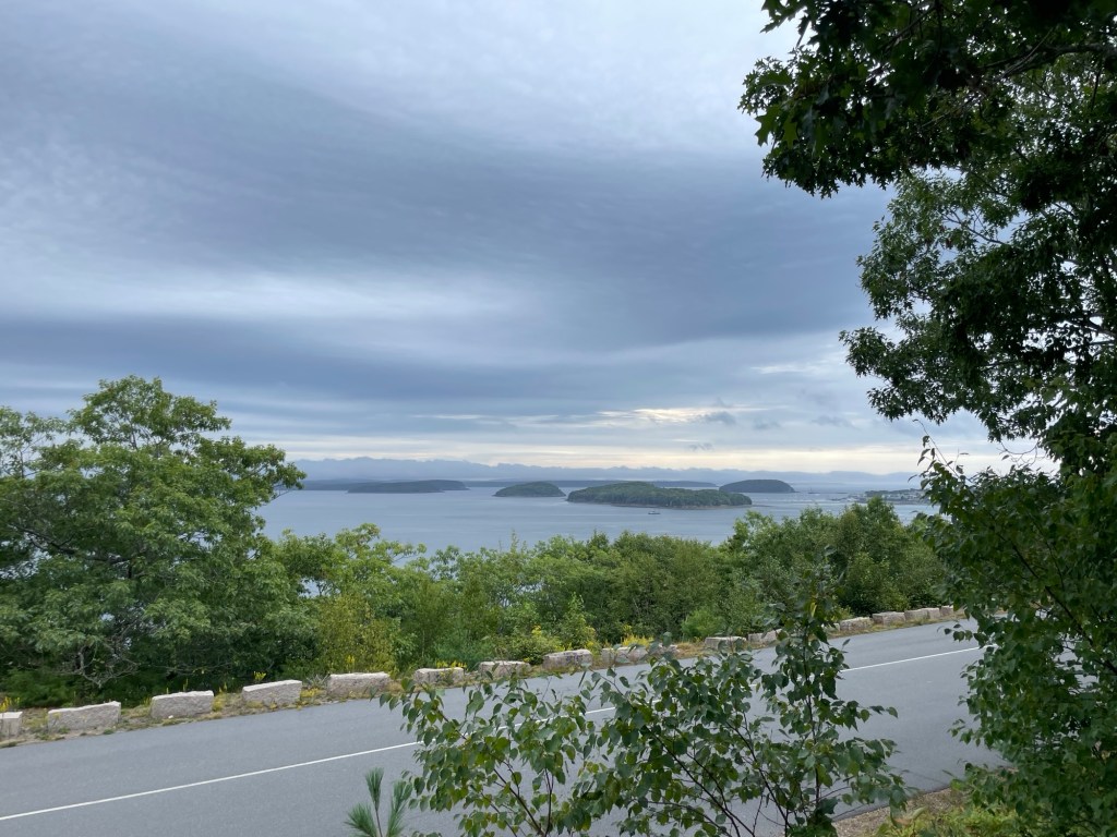
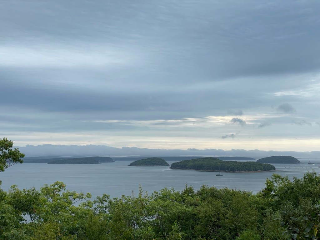
Frenchman Bay: There are nearly 40 islands in the bay near Bar Harbor. For a century and a half, the French hid their boats behind the bay’s many islands in order to attack English merchant, military, and colonizing ships.
The loop road hugs the jagged coastline, darting in and out of rocky overlooks, giving great views of the cliff edges during low tide. Parking is allowed in the right hand lane for parts of the one way section, and it really comes in handy. I imagine that in the height of summer it’s nothing but a parking lot with a slow crawl of cars going past, hunting for an opening.
We noted what a great variety of rock hopping and scrambling spots there were all alone the coast. We laughed and could easily imagine trying to keep Ian from his eternal quest of getting as close as possible to a rocky ledge, always intent on getting the perfect shot from some extreme angle. We were reminded of the time he loped back to us on a visit to Northern Ireland and announced that he had just scared the life out of another tourist by nearly falling off the edge of an island near the Giant’s Causeway. But not to worry, he’d gotten a great shot!
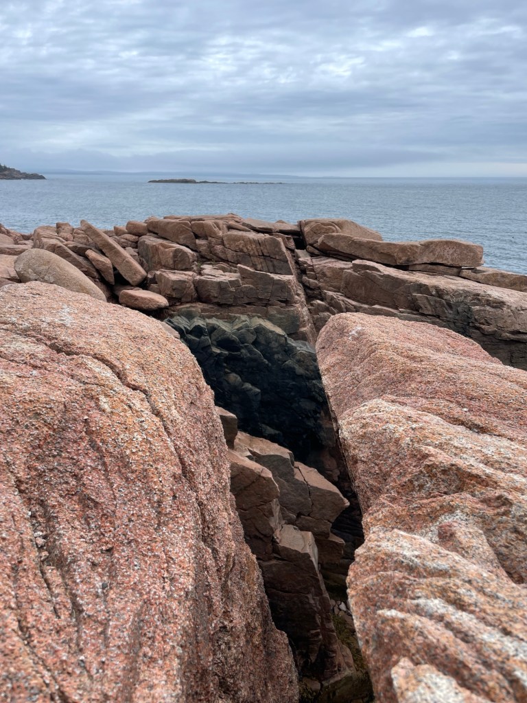
A section of ancient black lava provides great contrast to the usual pink granite cliff walls
At one point, Jeff noticed that we were alone and asked if people were allowed to release ashes there, since we always have a small amount with us. I said, “Oh, absolutely not.” Ya know, our boy sure did love forbidden things.
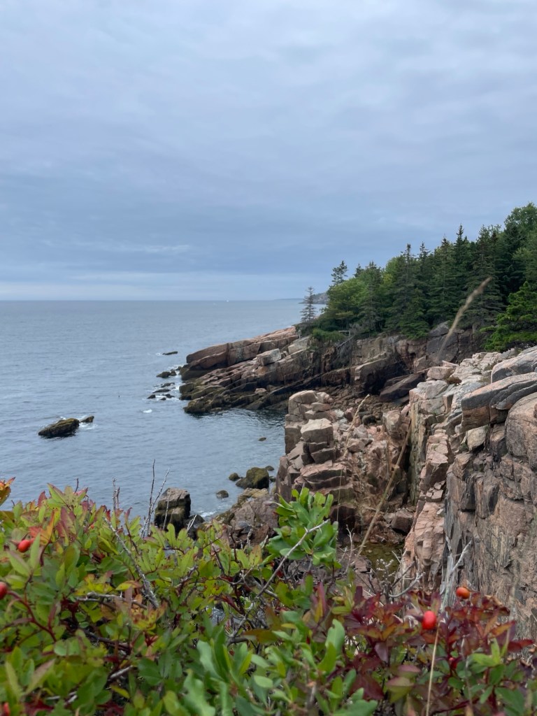
A steep cliff face, some hardy plants, and the roaring ocean below. It’s a fairly iconic combo.
I’m just saying. Moving on!
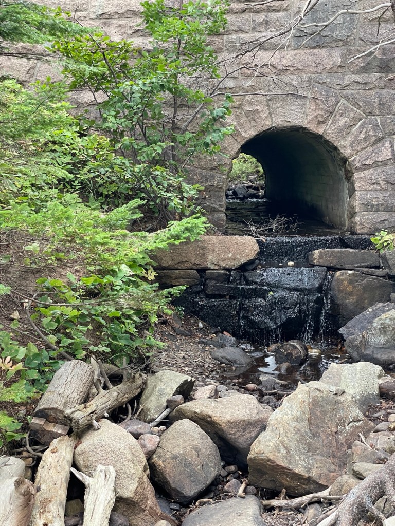
We didn’t see anywhere near all of the stone bridges in the park, but we enjoyed the ones we did see immensely. This one was very very tall, solidly bridging the two sides of a steep valley above a fairly modest creek opening. There were a LOT of steps to get down to the tumbled stone beach, as one woman kept announcing on her descent.
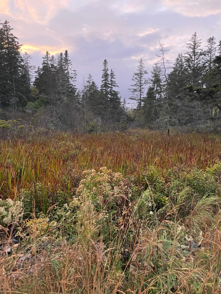
The shore’s wetland, looking west
After an overpriced dinner with a nice view, we caught a final (reverse/east facing) sunset from our beach, laughed about the deer hanging out with us, and headed back to pack things up and prepare for the morning’s departure. Books and movies in the trailer made a cozy end to the day.
As the tide goes out and the sun began to set, the colors of the rocks on our beach deepened in a way that filled me with joy and thankfulness. I know it isn’t the closest of the park’s campgrounds, but Seawall Campground felt like a good fit to me.
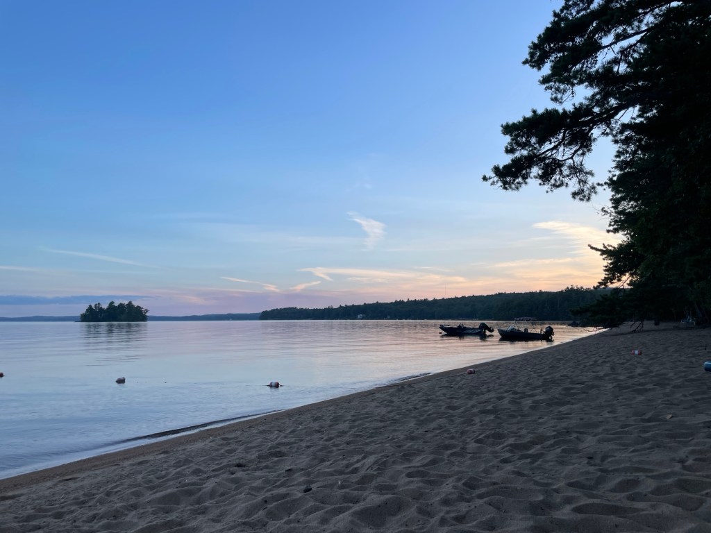
Summer is over. We’re overnighting at Sebago Lake State Park in western Maine, next to a beautiful beach that deserves more time than we’re going to give it. We watched a few big rigs struggle to park this afternoon, thankful again for our compact setup.
It feels a little strange having so many campers around us again, so I’m taking a couple of minutes refuge on the empty beach. Loon calls echo over the water. A pontoon boat is slowly chugging home, its red and green navigation lamps shining softly. Occasional snatches of conversation drift from the other campsites. The temps are falling and the humidity is low. I think we’ll sleep well tonight.
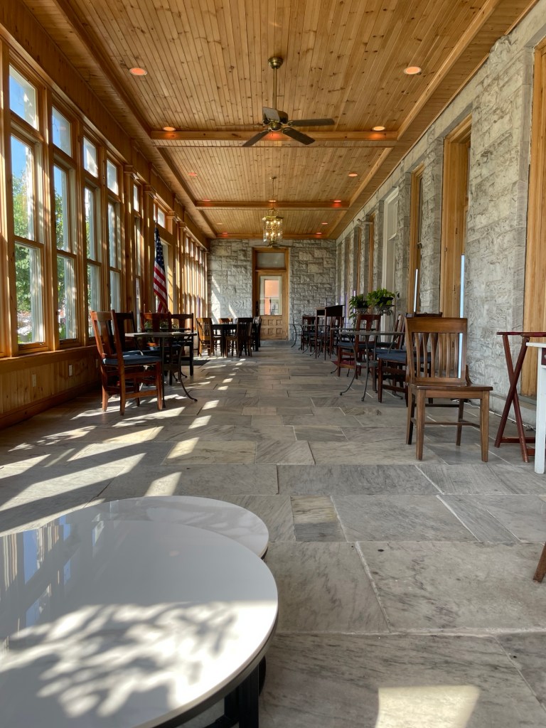
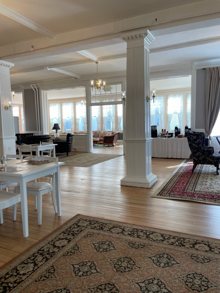
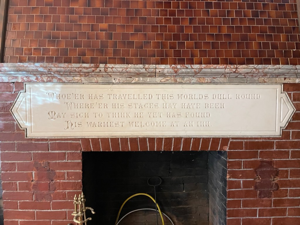
“This is absolutely not a haunted inn,” I told myself as we walked to our room at the Brandon Inn last month. “Yeah right,” my lizard brain said right back.
When pressed to give my opinion on the topic of ghosts, I fall into that boring camp of disbelievers. I admit to being more open to the idea though when a place is giving off that creaky, not quite level, the bathroom door keeps swinging open vibe at 2:47 in the morning.
Whoe’er has traveled this world’s dull round Where’er his stages may have been May sigh to think he yet has found His warmest welcome at an inn
You can tell this version of the inn is from the same era as the Stanley Hotel (the one that inspired Stephen King to write The Shining). Alas, I have nothing to report except that we slept soundly through the night and found nothing but a warm welcome and a comfortable bed.
***
We leave Keene on Tuesday morning, but we’ve enjoyed this volunteer gig so much that we’re coming back next summer. We’ll be back on the road, seeing family and friends, and lots of and lots of new places for the next eight months. Here’s to a bit more discovery!
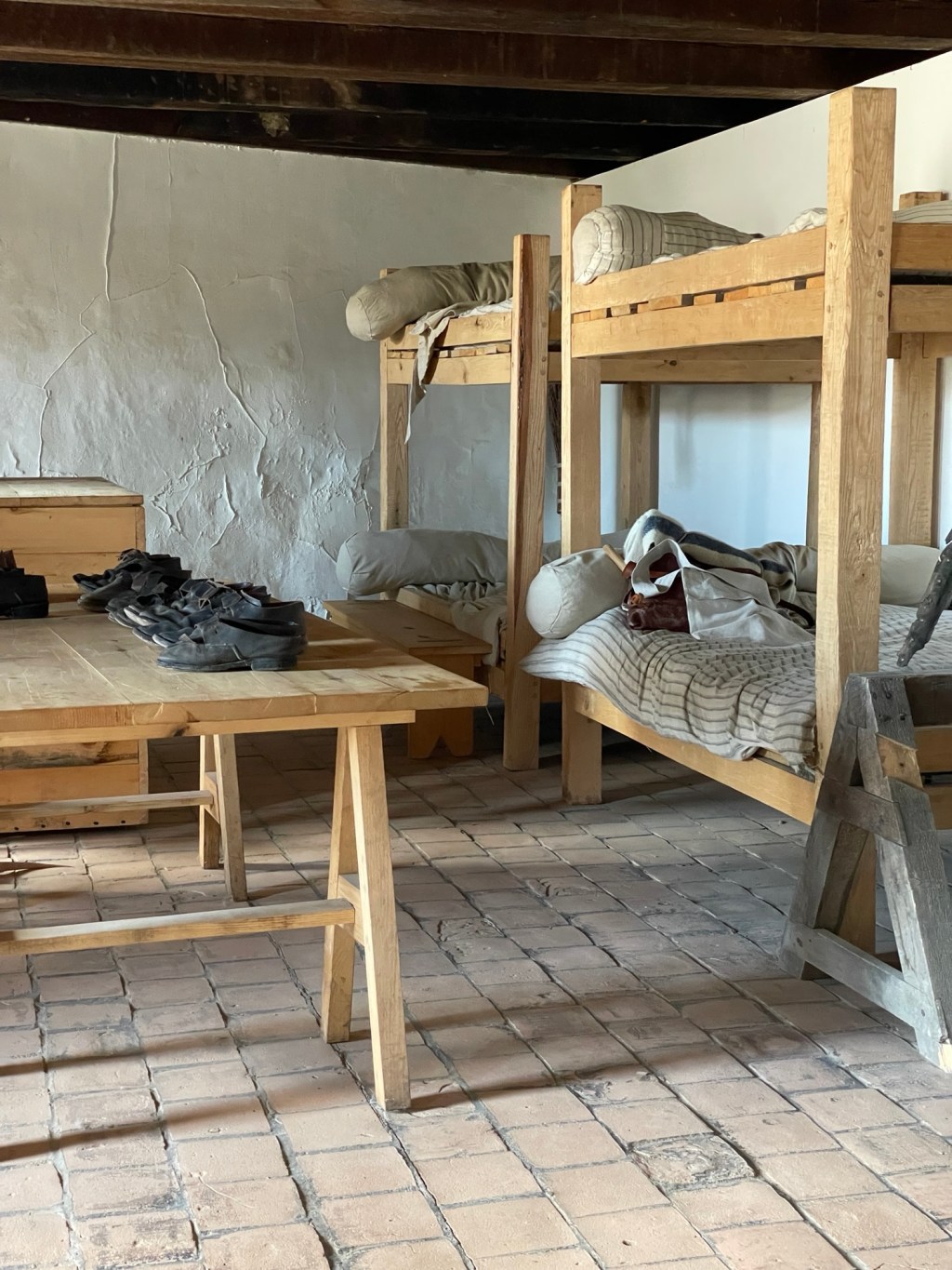
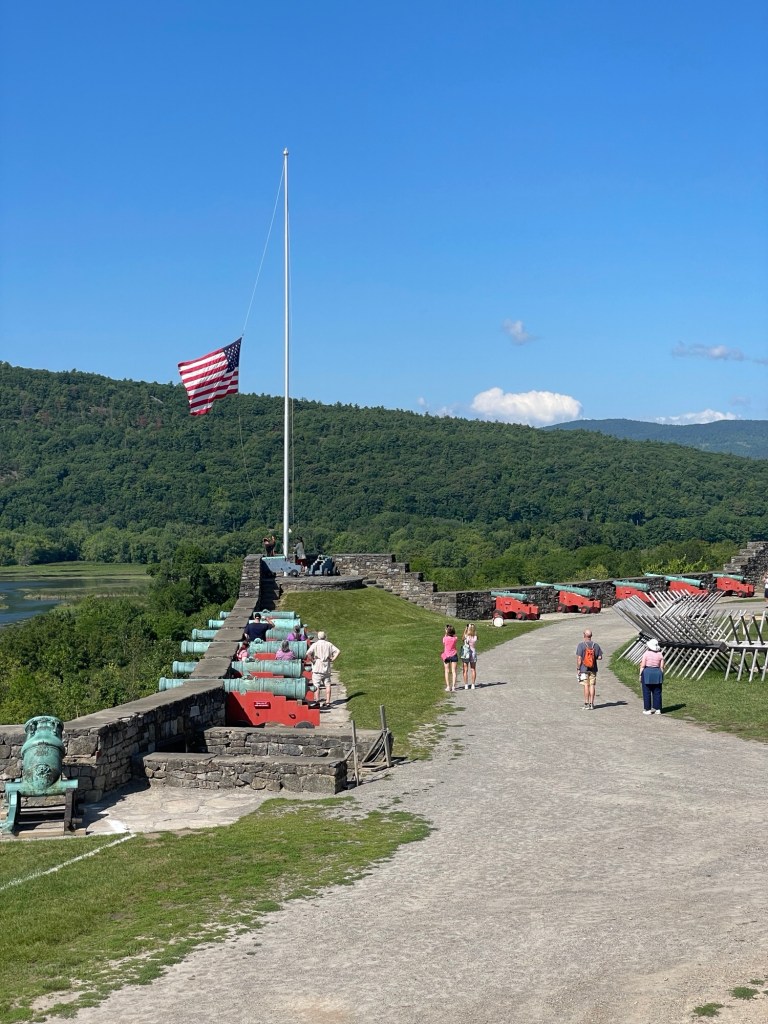
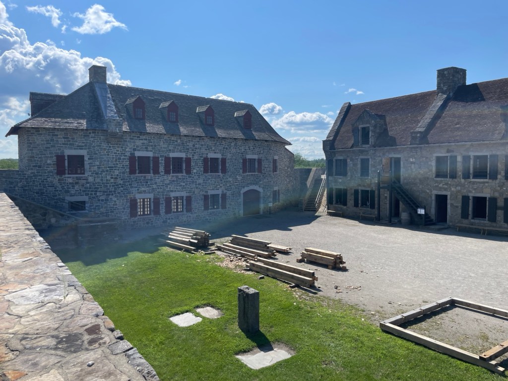
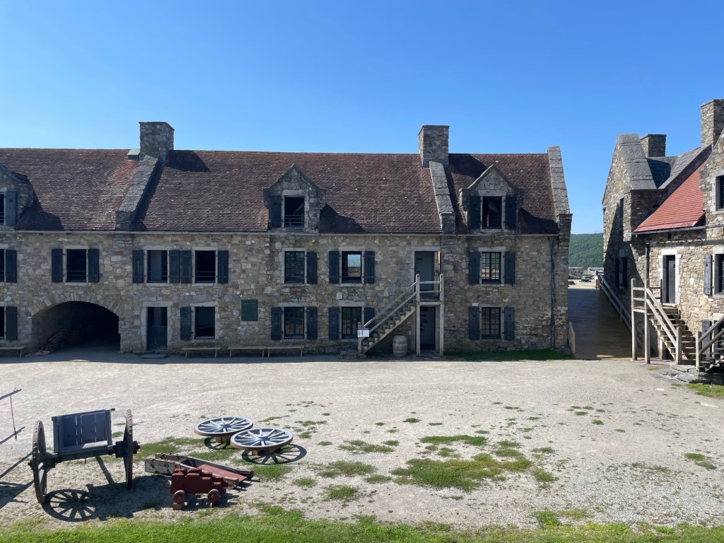
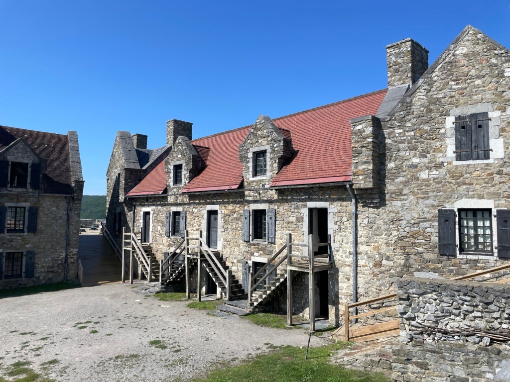
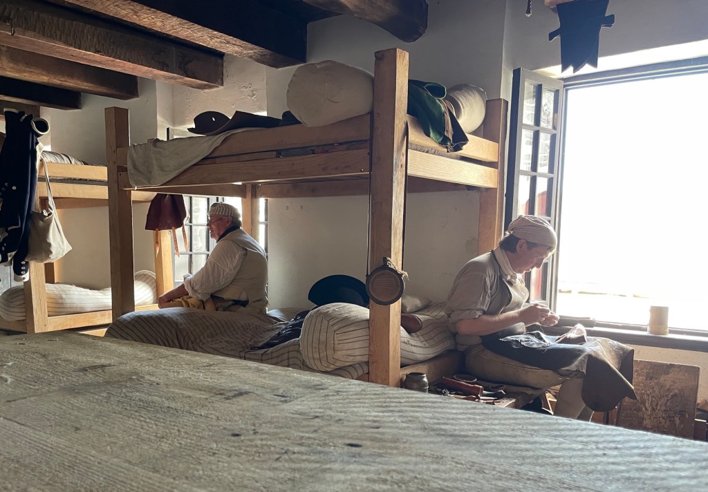
Since we’ve visited SO MANY forts the past year, a minimal pass with some of my favorite visuals should suffice. As expected, we learned some new and interesting things along the way.
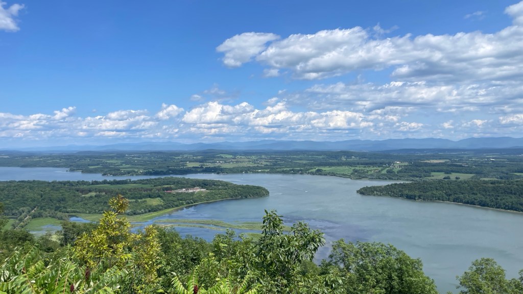
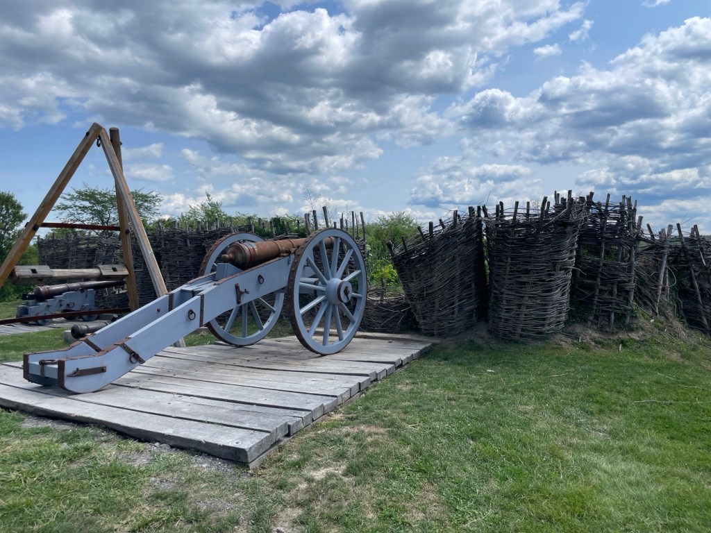
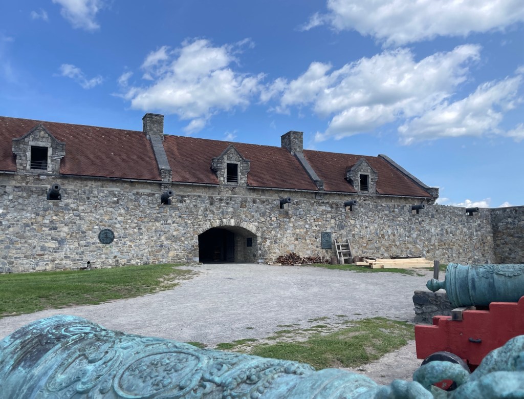
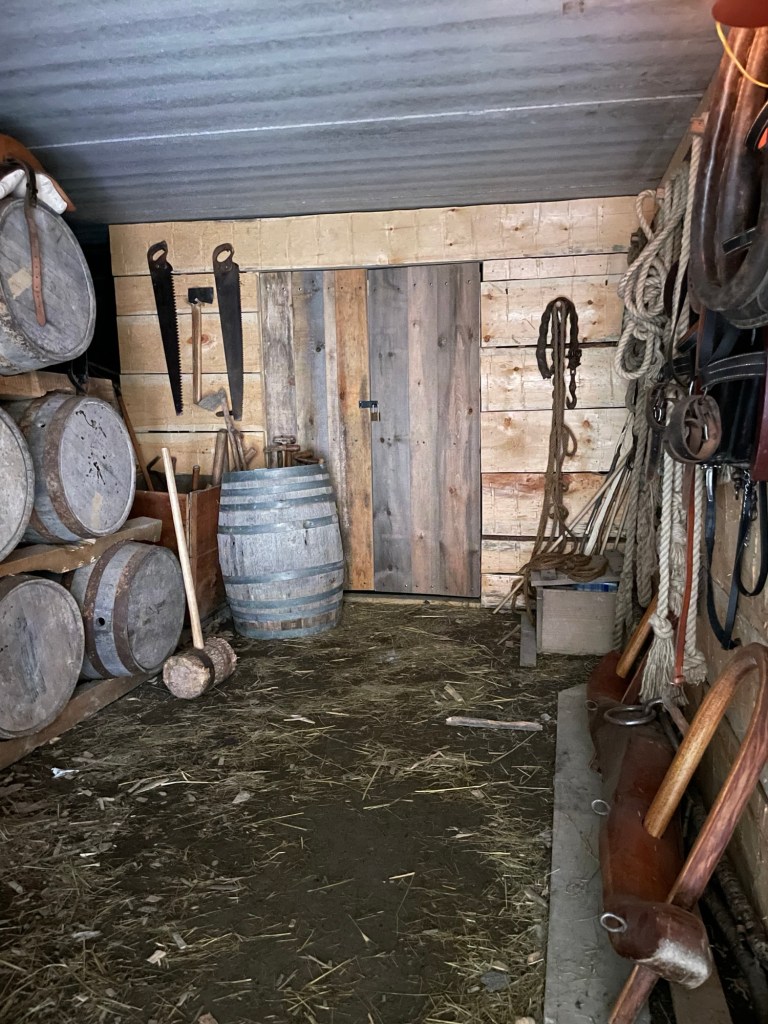
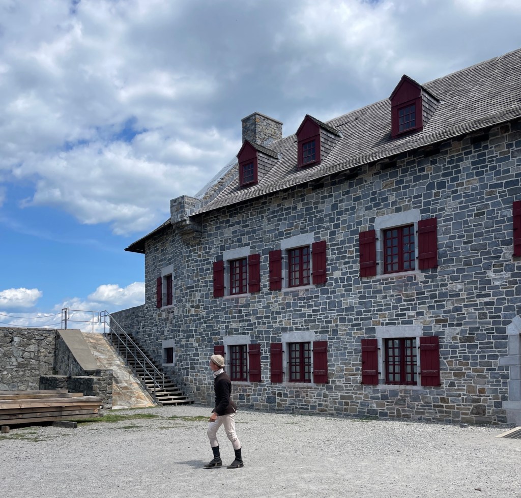
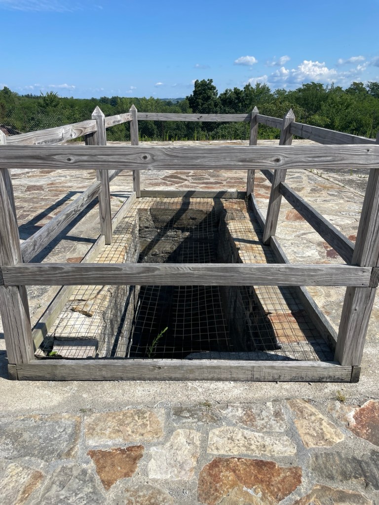
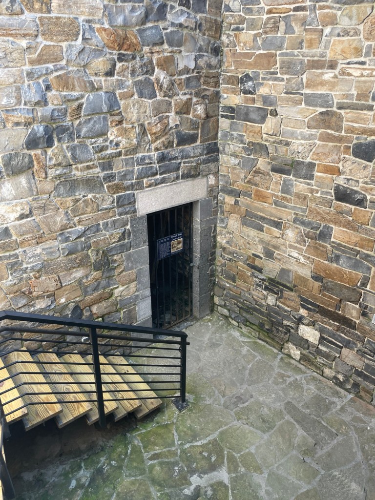
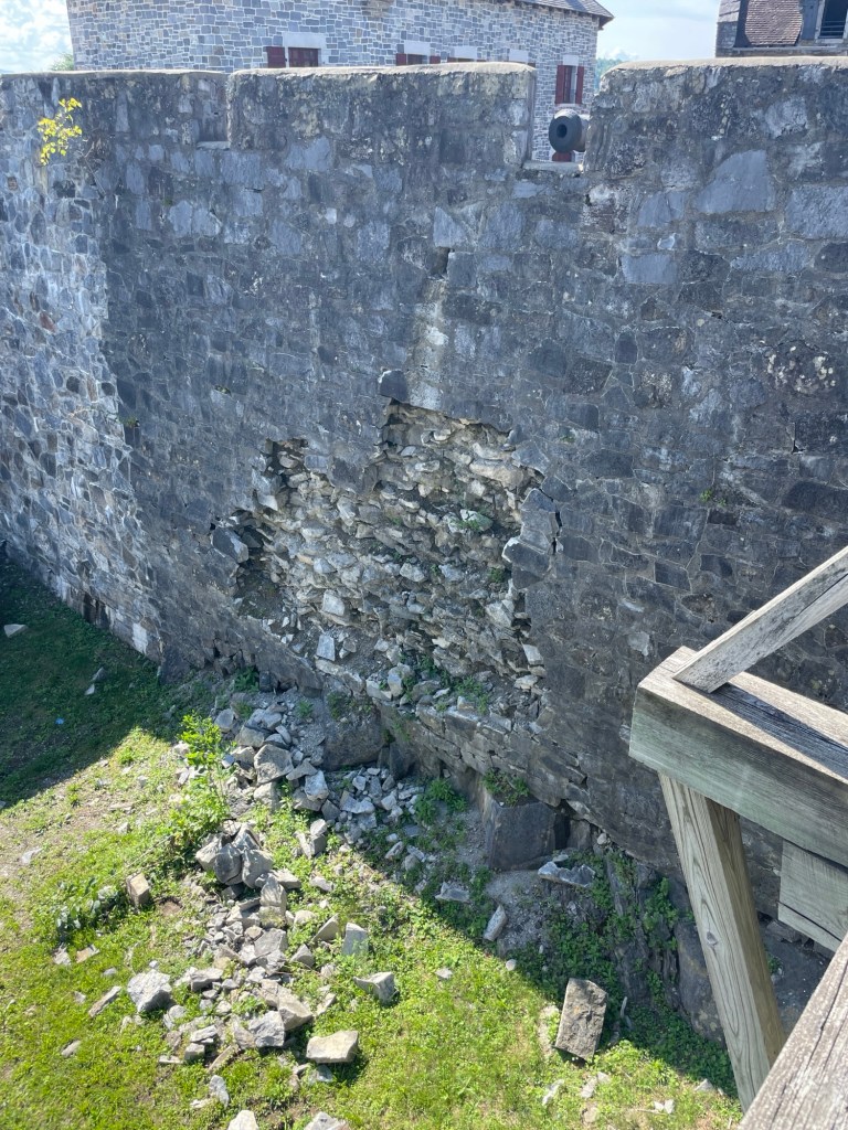
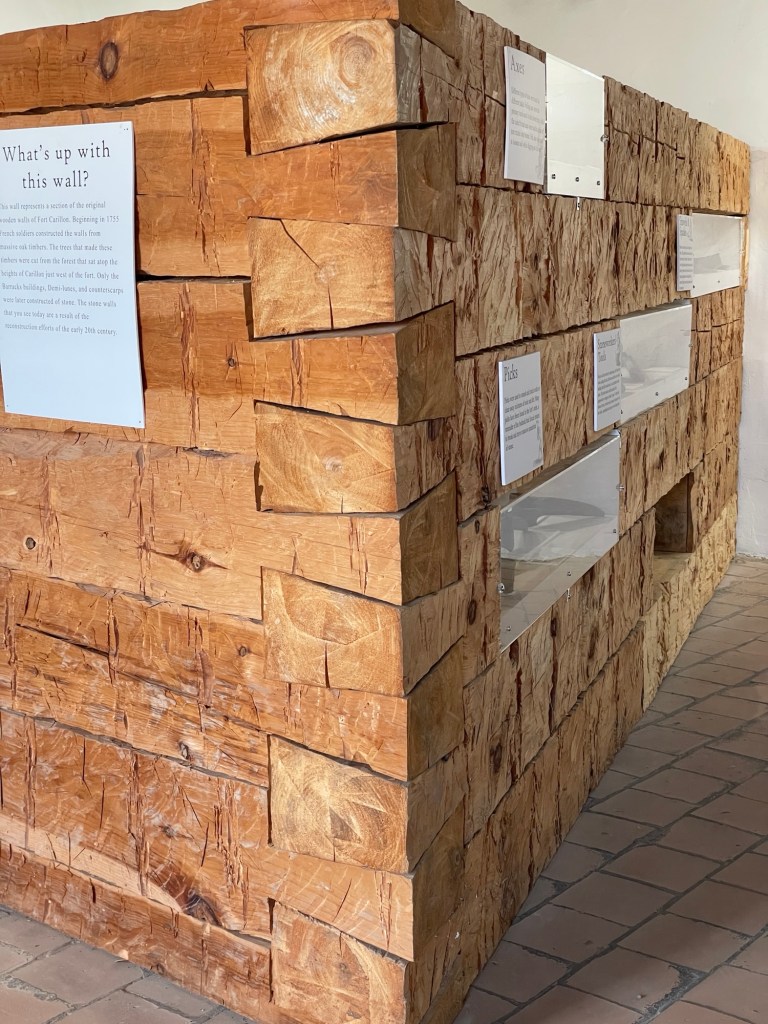
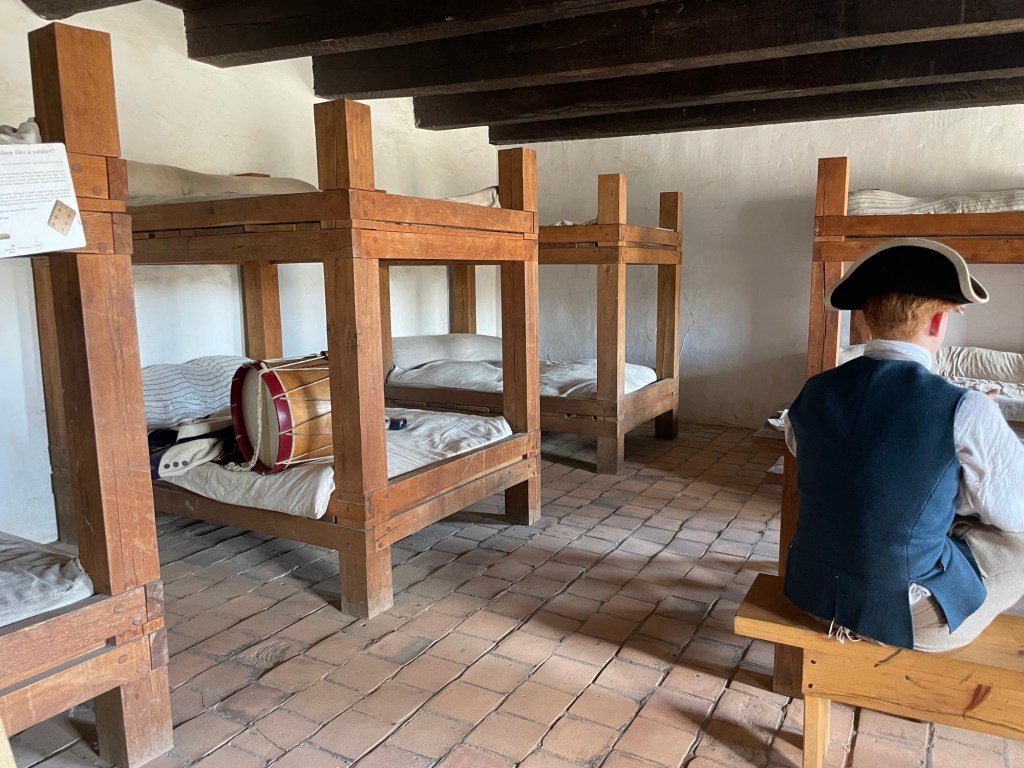
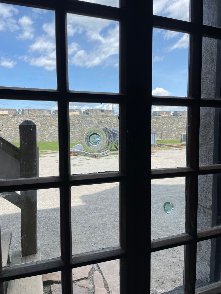
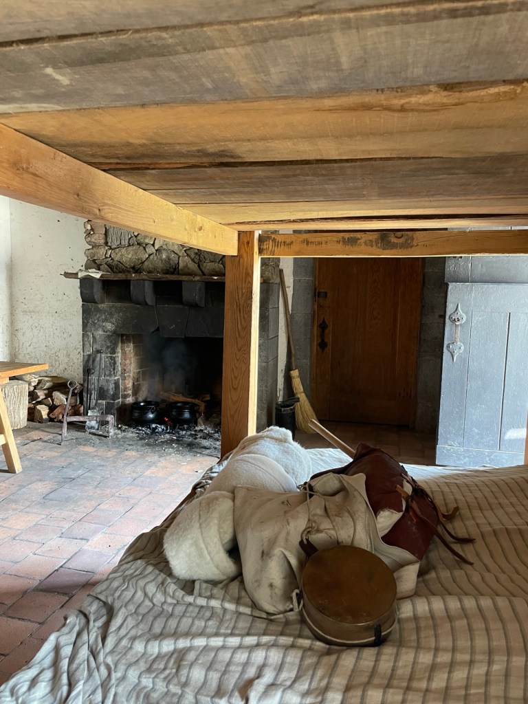
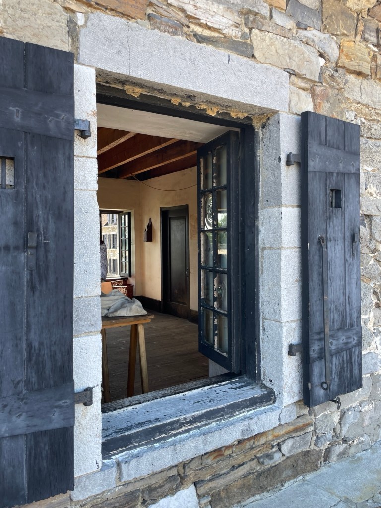
Fort Ticonderoga, like Crown Point, sits at the edge of a strategic strait. It’s obvious from this vantage point that an invading fleet would have a hard time sneaking past by this fort’s wall of cannon.The flag snapped, catching the breeze perfectly, as the flag’s carrier and the fife player worked together to hoist it.My first guess was potatoes or carrots, but these wicker baskets are actually full of dirt. They were used as makeshift walls during the fort’s construction and while undergoing repairs. While more easily breached than stone or logs, dirt is heavy and dense—as anyone putting in a brand new vegetable garden knows.Once behind the main walls, this is the entrance into the fort’s central living complex. That little plaque just inside on the right side memorializes a visit by George Washington soon after the Revolutionary War ended. He is considered the first of many visitors to this historic site.Ye olde tool and storage room just inside the main gate. Two things that made me smile are the saddle up on the top of the barrels (once a horse girl, always a horse girl) and the oxen yoke.The costuming at Fort Ticonderoga is top notch. The shoes are made by hand, on-site, for each individual, as are the clothes. We watched cobblers and a seamstress at work, and saw a soldier knitting in the complex. Another one was chopping veggies and making a stew over an open fire in the kitchen, which we later saw being delivered to and enjoyed by the staff. The cobbler noted that he has an added incentive to make shoes as comfortable as possible, as his own belly and skin is at the mercy of other people’s care and skill.This big opening on the parapet was a mystery. We had no idea what it could have been used for. It just seemed like a good way to break your neck.A sign sent us down a staircase to a locked gate. The hole turned out to be the venting for the bread ovens. We should have guessed, considering what an essential part fresh bread played in soldiers’ lives. It didn’t say, but my guess is that a flue or chimney filled that big rectangular hole. Through this gate, you could see that work was being done to build the inside of the bread oven.At this point, we were pretty impressed by the state of the fort. The back of the fort, however, was another matter. Stone masons are busy repairing spots where stones have spalled out of the wall due to countless frost-heave cycles. We read a sign that explained that when the original owners began restoration ages and ages ago, there was little left of the actual fort. The impressive condition of the buildings made a lot more sense then.What IS up with this wall? Funny story that. When the original restoration began, seeing that the interior buildings were all built from locally quarried stone, the owners misinterpreted things and assumed that stone was also used to build the exterior walls. But modern archeologists discovered that the exterior walls were actually made from locally felled and extremely well fitted wooden posts similar to the ones seen here. Fort management has chosen to maintain the current albeit inaccurate walls and use them as a teaching point. They highlight the importance of enlisting experienced historians and archaeologists and show that new findings are an ongoing part of historical interpretation.East buildingSouth building West buildingCobblers at work in their personal quartersA staff member having lunch. Note the unglazed tiles on floor. They probably did a lot to keep things clean and would have stayed relatively cool in the heat of summer. I wonder if they made the rooms feel extra cold in the winter or if they absorbed heat from the fireplace and radiated it back into the room. I wish I had thought to ask. What do you think?Two beautiful attachment points on panes of handmade window glass.A costumed staff member dropped his gear on a bed before starting to make the staff lunch (vegetable beef stew).The fort is a bit expensive to visit, don’t even get Jeff started on that topic, but I love the little peeks it gives, sometimes literally, into the everyday lives of soldiers during the 1700s.Wicked cool shutters
***
Side note: Tonight as I was sitting at the entrance booth (one of us does that from 5-7pm W-Su), I heard rain suddenly crashing down all around me. Since we had something electronic plugged in on the picnic table back at the camper, I called Jeff in a hot panic to make sure he grabbed it. He didn’t see why I was so wound up; it wasn’t raining a drop by him. And it never did. I was an easy 5 minute walk away, only separated by some woods. Down at the lake, another 5 minute walk from the camper, our ranger was getting a light sprinkling. New Hampshire’s weather wackiness has happened more often than you’d think possible during our stay here.
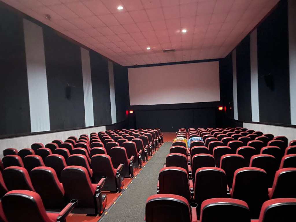
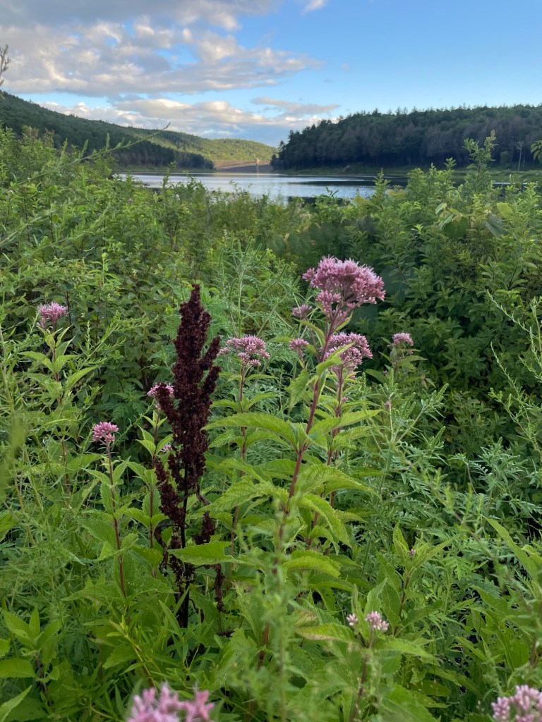
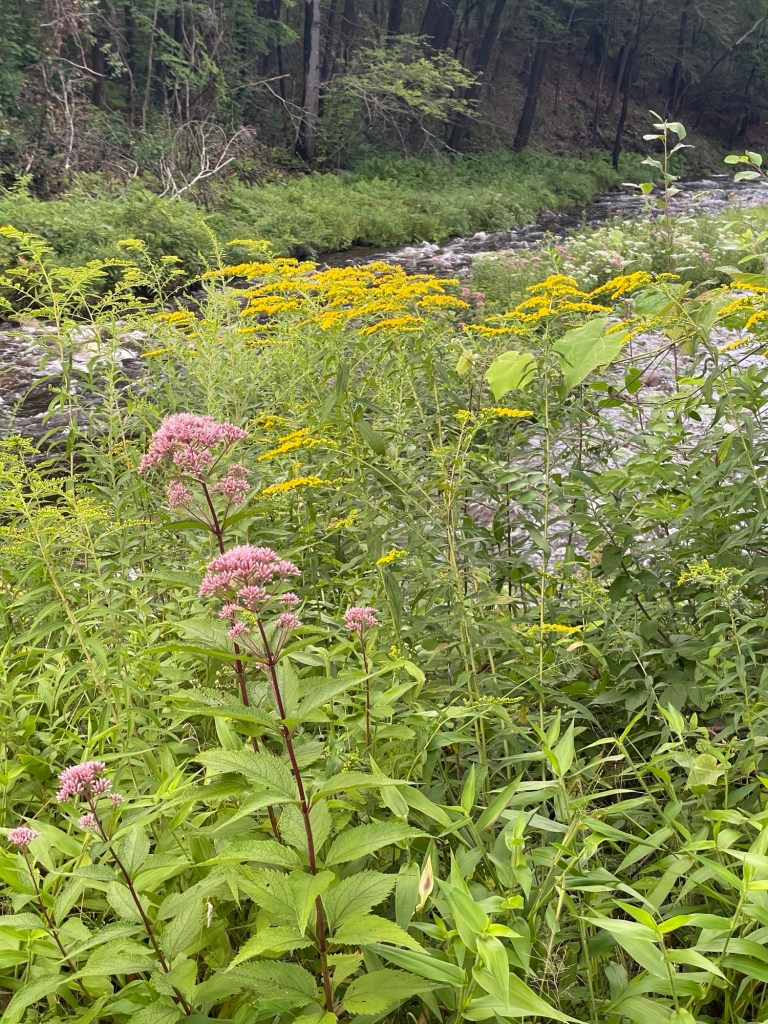
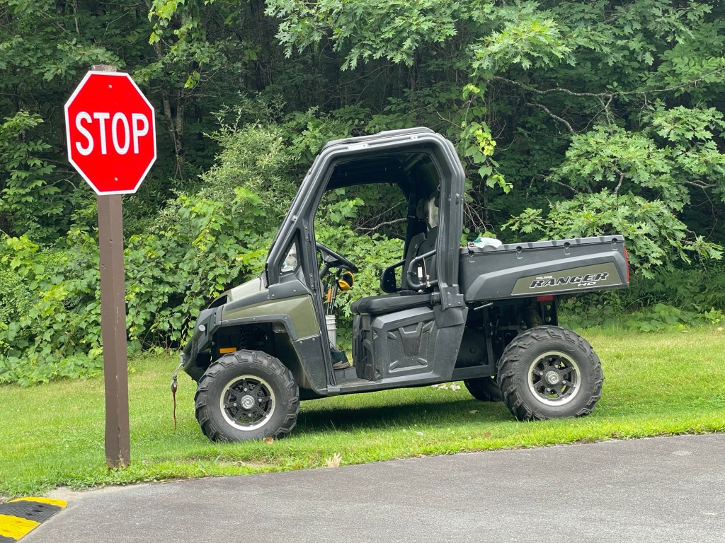
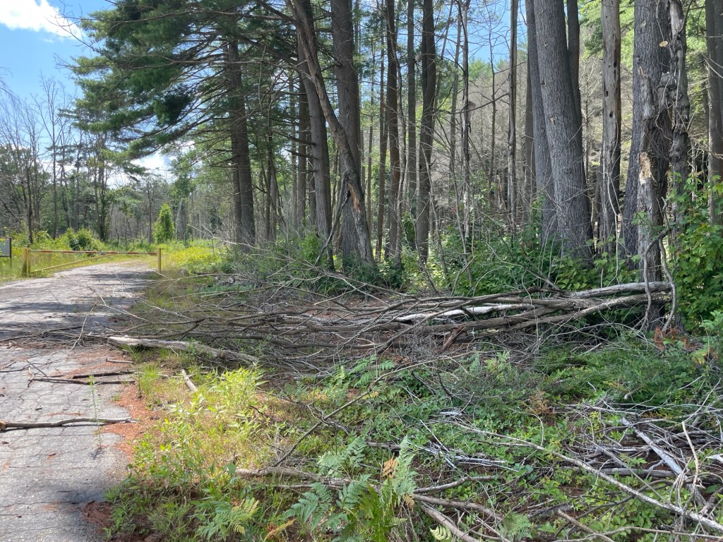
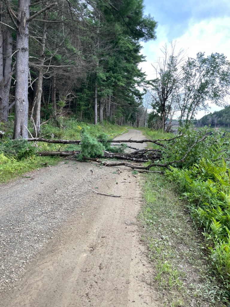
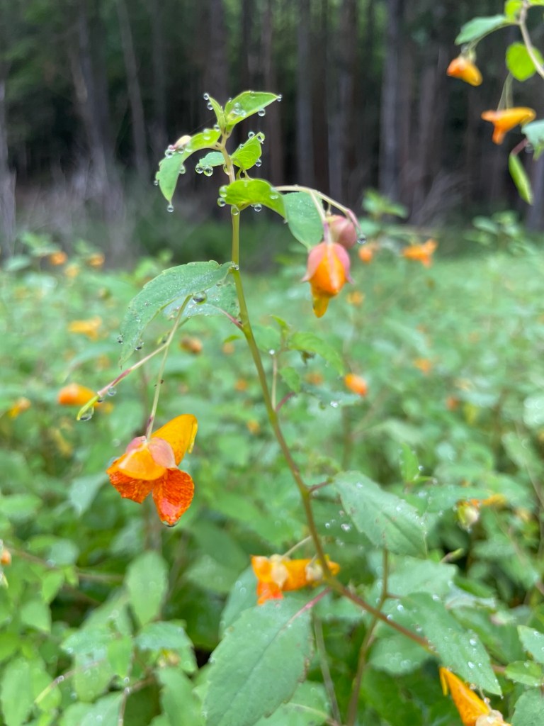
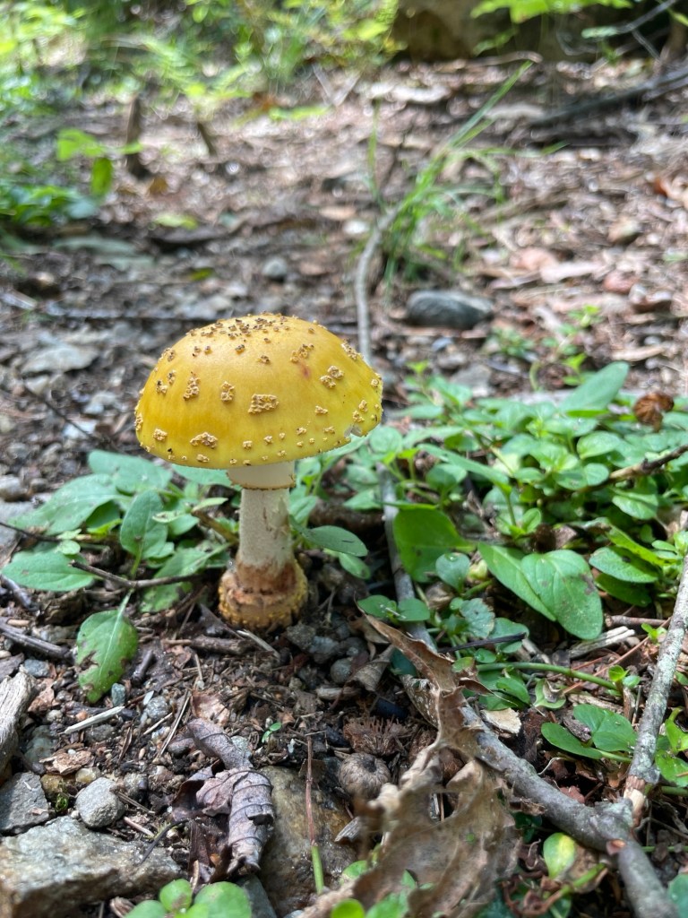
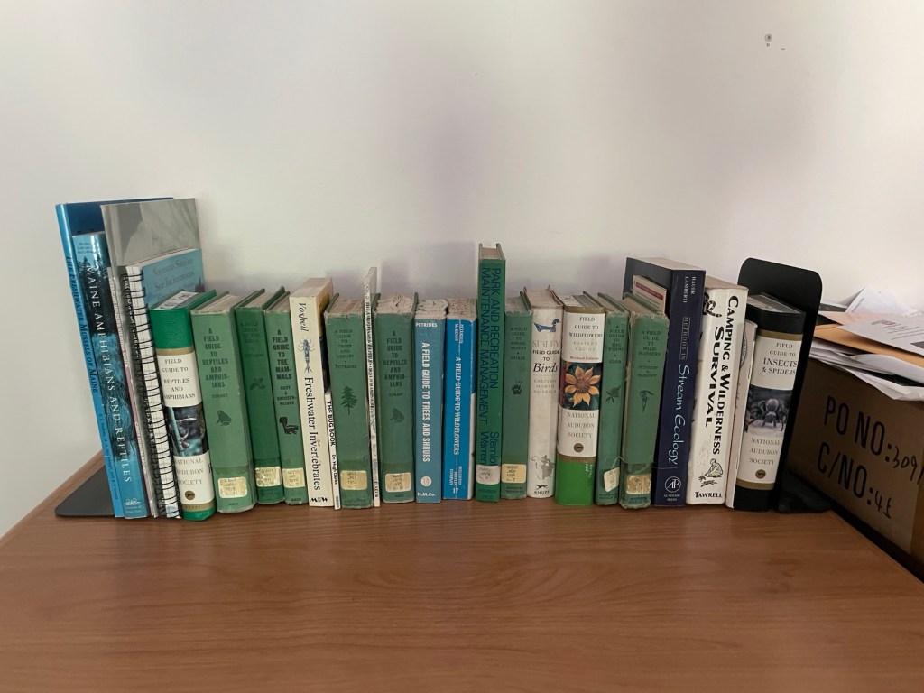
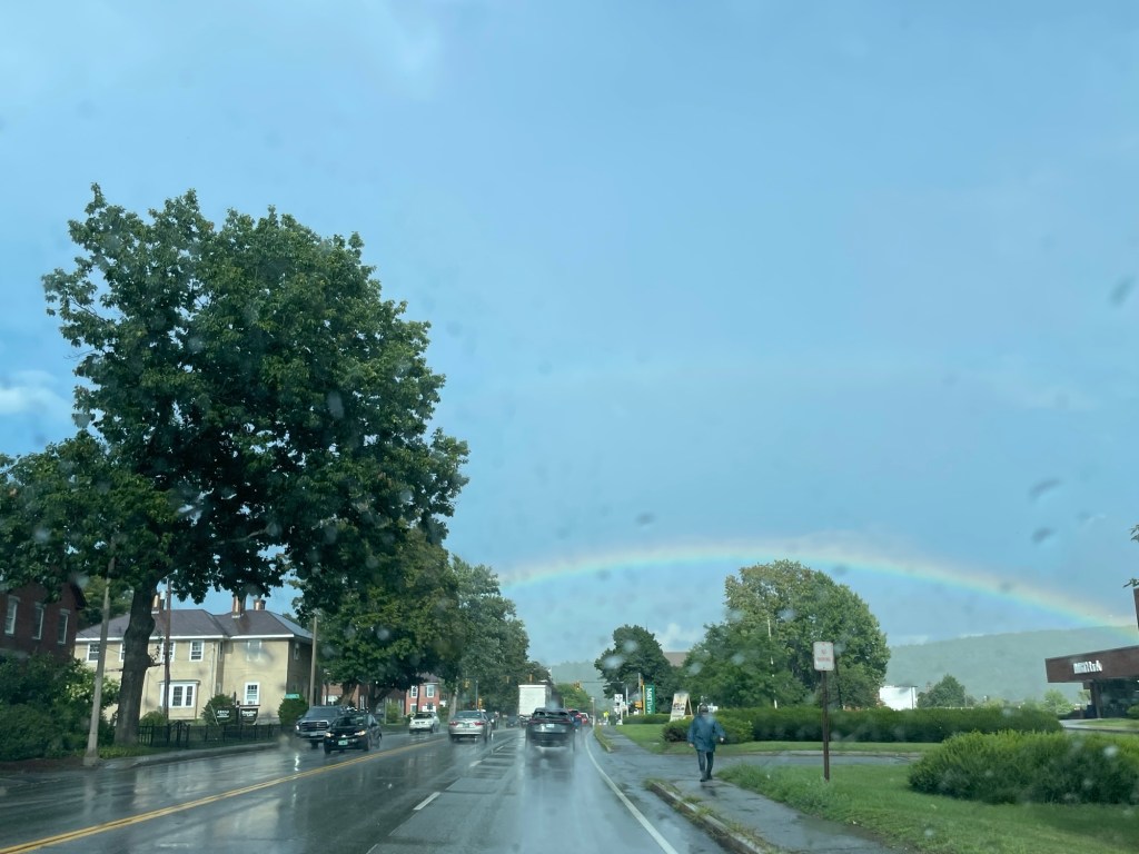
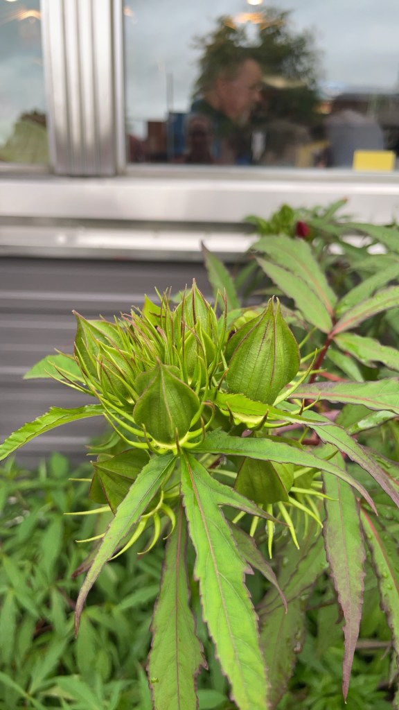
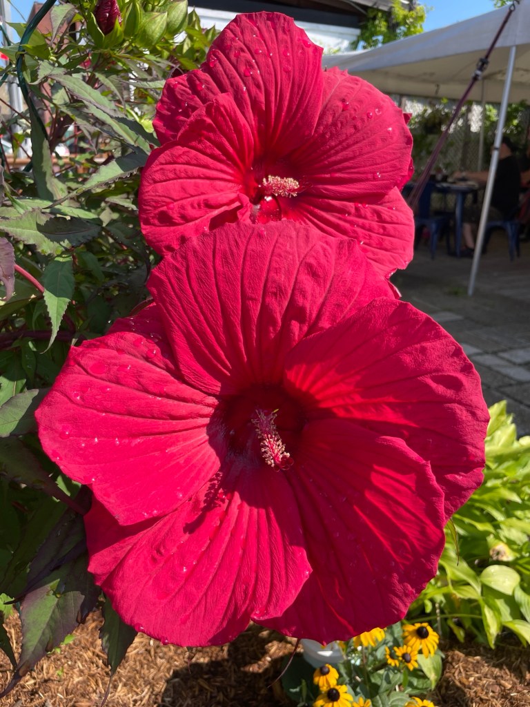
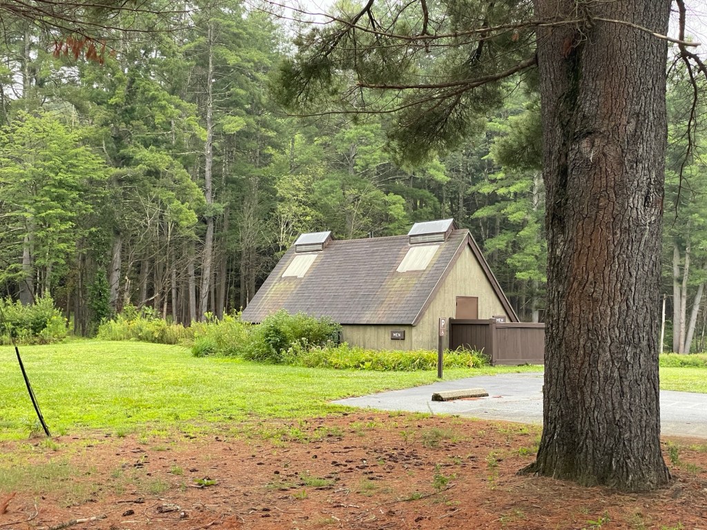
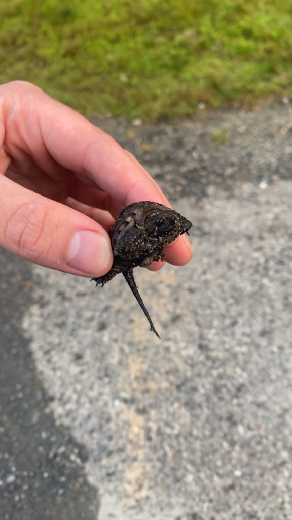
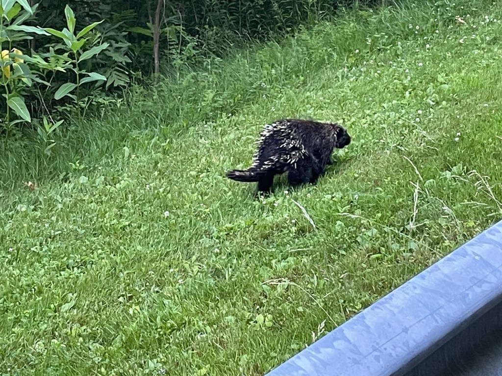
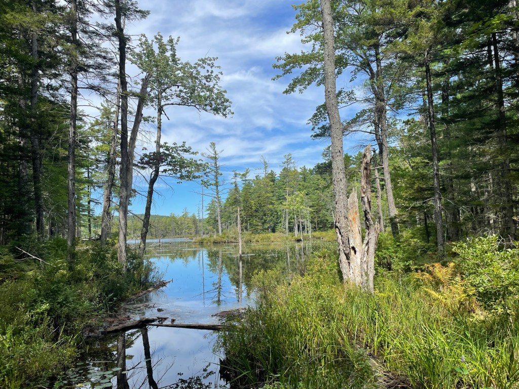
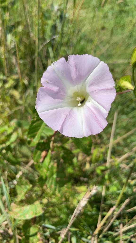
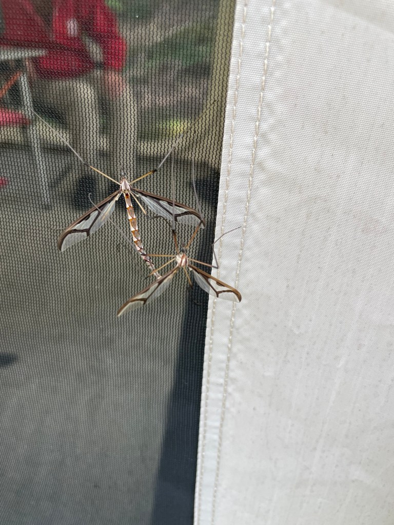
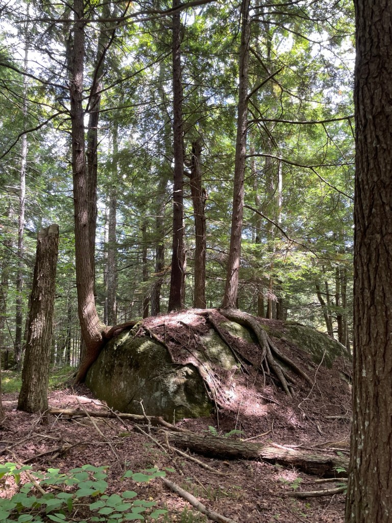
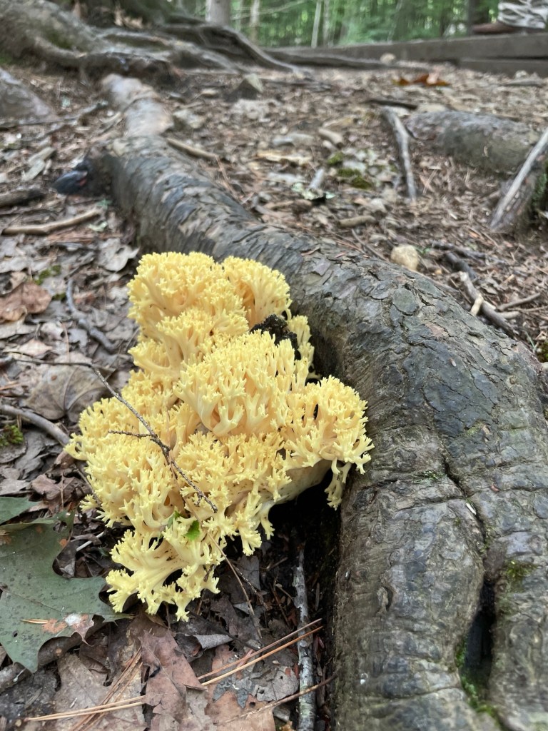
Keene has an old fashioned and very affordable movie theater (for a few months more)We had lots of clouds made for dreaming this monthThe wildflowers took a dramatic turn, switching from one variety to another,and turning the entire park into a colorful tapestry day after dayThe UTV spent every evening at the entrance booth while we reminded people of the gate closing timeKeene is full of folks like usWe carried away a LOT of fallen branches. The UTV and dump truck worked overtimeTree after tree came down on the service road. Always on a Friday night too!Common Jewelweed (Impatiens capensis) Hummingbirds love theseThe lights in the bathroom and storage area are getting an upgradeConstruction has come to Otter Brook. One of the two bridges has foundations that need repairYellow American Blusher (Amanita flavorubens)Behold! A mini library of nature guides at the officeIt was pouring in town, with a rainbow that stretched for days. Not a drop was falling in the park!Midnight Marvel Hibiscus on a Saturday —>And then suddenly on a Monday!I’ve put a lot of time into getting the flower gardens around the restrooms back in shapeA baby snapping turtle started its trek to the waterThe resident porcupines don’t have a care in the world We hiked to a hidden lake on a perfect fall dayHedge Bindweed (Calystegia sepium)Giant Eastern Crane flies (Pedicia albivitta)Three trees’ roots growing around a boulder resembled the arteries on a heartThis fungus looks like ocean coralA juvenile Eastern Newt (Notophthalmus viridescens) in its red eft era
We passed the 1 year anniversary of living in the HMS Beangle on Sunday and it feels so natural by now that we didn’t even remember until well into yesterday afternoon. I want to say a very public and loud Thank You So Much to Joe & Chris for their support in letting us stay Coloradans and for keeping our mail coming this past year. Their help has truly been fundamental.
***
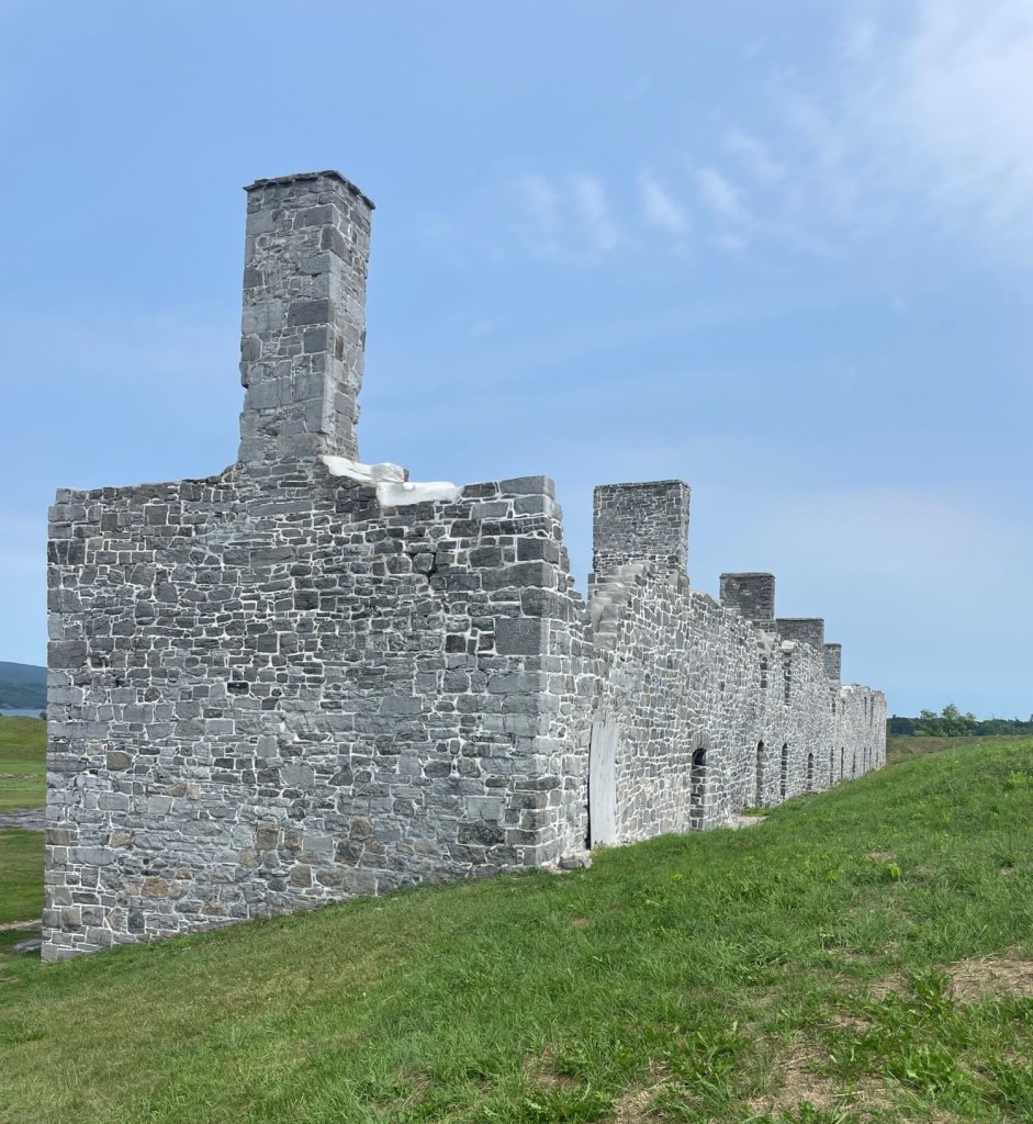
I first wrote the title as ‘Two Star Fort Ruins at Crown Point’ but realized how much it sounded like a disgruntled Yelp review. Fear not, our visit to New York’s Crown Point State Historic Park and National Historical Site was quite enjoyable. No need to speak to the manager. We arrived on a Monday, a day the museum is closed, so I’m only left wishing we’d been able to see the indoor exhibits, too. I read that they’re pretty good.
Grab those #2 pencils again. We’re going to start with the essentials of geography.
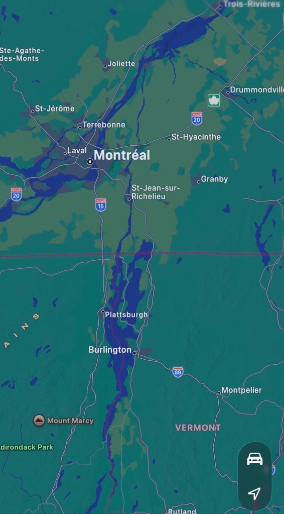
First: The St. Lawrence Seaway connects the Great Lakes to the Atlantic Ocean. And yes, one of those Great Lakes is named Lake Ontario — to insist on calling it anything else is simply acting like a petulant toddler desperately in need of a new diaper and a nap.
The lay of the land
Second: Running straight south from the St. Lawrence River in Quebec, Rivière Richelieu (ooh la la) connects to Lake Champlain, Wood Creek, and then the Hudson River, ultimately draining into the Atlantic Ocean at New York City. Troops, food, trade goods, and all manner of supplies and information have slid through these waterways over millennia.
Third: The bend at Crown Point is a mere quarter of a mile wide, consolidating all the river’s traffic into one easy to oversee and control spot. With that in mind, it’s easy to understand why the French, British, and American governments all tried to control this strategic point—in times of peace and especially in times of war. There are a number of strategically located bends or narrows (also called straits) around the world that can exert an unusually vice-like grip on water-based transportation. Seems like that would be an important thing to remember.
Now, let’s get to the forts specifically.
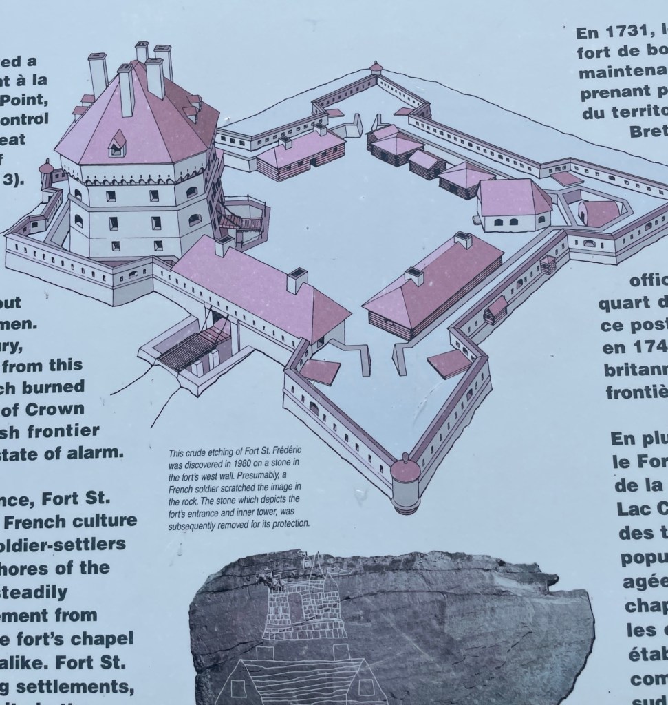
In order to protect their trade and colonizing interests, the French first built a small, temporary wooden fort on the eastern (Vermont) side of the water in 1731 that housed about 30 men. Today it’s called Chimney Point. After the French completed the more robust Fort St. Frédéric on the western (New York) side in 1737, today called Crown Point, the temporary structure was deemed redundant and abandoned. I assume they dismantled it and reused the materials inside the new fort, but I can’t say for sure.
That’s a lot of back and forth, so for clarification, eastern side is older and western is newer.
The layout of Fort Frédéric. The low rectangular building next to the wooden tower housed the bakery. (Remember that.)
I’m pretty sure that anyone reading this is a resident of a relatively densely populated, modern-convenience-filled community with easy access to anything we need and anyone we want to communicate with. Sure, we might live in a rural town 30-45 minutes from anywhere. Maybe we don’t have cell service or internet access 24/7. Storms can keep us stuck at home a day or two at a time. But we live on roads. We have mailboxes. Groceries are only a drive away. And if we go to a higher elevation or drive a bit, we can get a signal. Not these men. They were effectively cut off from easy access to their countrymen and to the basics of sustenance.
I’ve tried and failed to imagine 30 men moving into a densely forested part of the American continent to live in a hastily built wooden box on the edge of a lake. What if they didn’t know each other, or worse actively disliked a couple of the others? Too bad, that didn’t matter. Their duty to King and Country was to build and maintain Fort St. Frédéric and wait for their most despised enemy to show up with little to no notice. No distractions. No say in how things were done. No privacy. I can be prickly; I don’t think it would be the job for me.
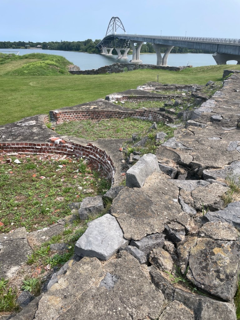
Fort St. Frédéric’s four beehive bread ovens. The first French fort was across the water.
In wandering around the French fort ruins, the foundations of the beehive bread ovens took my breath away. Each one is about the size of the HMS Beangle! Imagine spinning a queen-size mattress in a circle and you’ll have a rough idea of each beehive oven’s size. Bread was the mainstay of a French soldier’s existence, supplemented by what they could hunt, gather, and with time grow, so a bakery was usually the first thing built. No bread, no fort. It was as simple as that. I imagine the walls lined with racks and racks of dough, but I don’t know how the bread ovens actually worked. And since the visitor center was closed, I couldn’t ask. Maybe I do need to speak to a manager, after all. Regardless, I continue to be intrigued by how they operated. That’s a rabbit hole for me to fall down some bad weather day. If I find out, I’ll try to remember to pass it on.
It should go without saying, but let’s say it anyways, the land that the French and British were settling on and traveling through was far from empty. It wasn’t a desolate or uninhabited land; it wasn’t a blank slate. Yes, population densities were likely significantly lower than the incoming soldiers were used to back in Europe, especially after a few rounds of smallpox and other imported diseases had raced through the native population. And yes, the ways that the indigenous people lived were different from the intensive farming and private property-based norms of Europe, but it was far from empty.
By the early 1700s, the French had intact relationships and trade arrangements with many of thePitawbagw region’s indigenous tribes. (Pitawbagw means “the lake in between” and is the Abanaki name for what we now call Lake Champlain.) These tribes lived around and along either side of Pitawbagw. They were part of the easterly Algonquian-speaking Wabanaki Confederacy—such as the Abenaki and the Penacook—and their traditional adversary, the westerly Iroquoian-speaking tribes of the Haudenosaunee League—such as the Mohawk and the Oneida. Around this time, as settlements pushed ever westward, not only was the conflict between the French and British heating up, but so was the ongoing tension between the Wabanaki and Haudenosaunee. Despite their best efforts, the individual tribes were soon forced to pick sides.
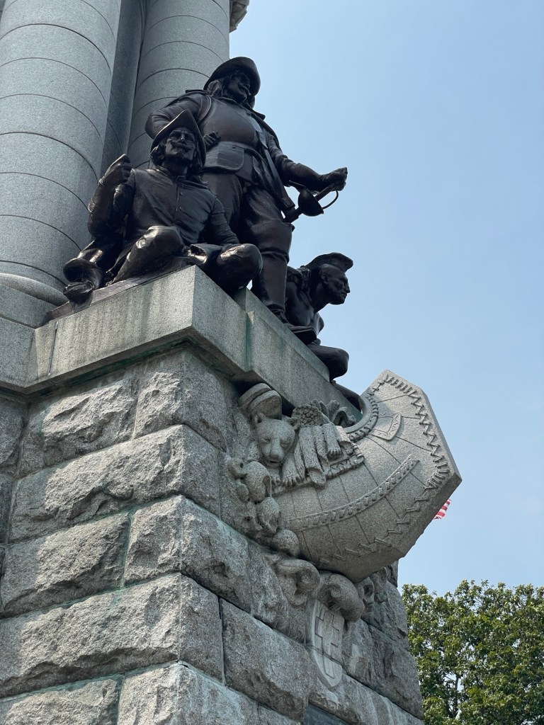
Samuel de Champlain, on his 1609 expedition to chart the Pitawbagw valley region for the French, flanked by a soldier and their Mohawk guide. Is it just me or does the canoe look like it’s filled with toys for under a Christmas tree?
Soon after Fort St. Frédéric was up and running, King Louis XV of France granted a large swath of land on the opposite shore *insert a raised eyebrow here* to French citizens, to encourage them to settle the area—spreading out from the temporary fort’s location. In under 15 years, there were more than 20 homesteads within a few miles of the crossing between Chimney Point and Crown Point. But with the advancement of the British Army during the French and Indian Wars (1754-1763), the settlers eventually abandoned the region and fled north, back to French-held Quebec, when it was clear that Fort St. Frédéric would fall.
I can hardly imagine the grief of having poured myself and all my resources into building a homestead, far from everyone and everything I once knew, only to abandon it forever. While on a different scale and with different financial repercussions, seeing the grief of people impacted by the current wildfires, floods, and droughts this summer gives me a glimmer of the pain these settlers incurred. It’s different of course. We generally have insurance, community emergency services, and nearby cities/states to lend a hand, but such heart-crushing pain and the sense of hopelessness in times of disaster feels timeless and universal.
And then in 1759, the British did arrive.
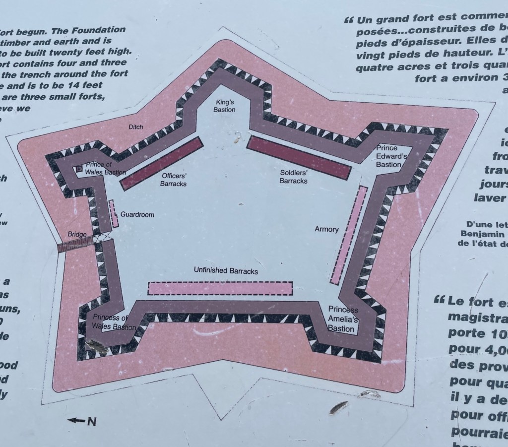
They found a preemptively destroyed (a la, you-can’t-play-with-my-toys) Fort St. Fédéric and immediately began to build a fort of their own. Bigger and badder, just behind the ruins of the other one. I imagine it going down something like this: “You had four points? We’ll have five! You had high walls? We’ll have higher walls and extra deep ditches! You blew up your powder magazine? Well, we don’t know it yet, but we’ll accidentally do that too! Wait, what?!” But I’m getting ahead of myself there.
The British fort
General Amherst employed up to 3,000 soldiers and artisans to work on the British fort, roads, outbuildings, gardens, etc. at Crown Point. Even with civilian and tradesmen’s homes and public services such as taverns, stores, laundresses, all outside the fort’s walls, it’s a small area. Imagining so many people there takes a bit of effort. But work on the fort pretty much stopped when France’s claim to Canada was ceded to the British at the end of the French and Indian War in 1863. It doesn’t appear that the local tribes got a say in the matter. Shocker, I know. Inside the mostly complete fort, a barrack was left unbuilt as the anticipated troops were no longer needed.
The enlisted soldier’s barracks
(Not yet, anyways.)
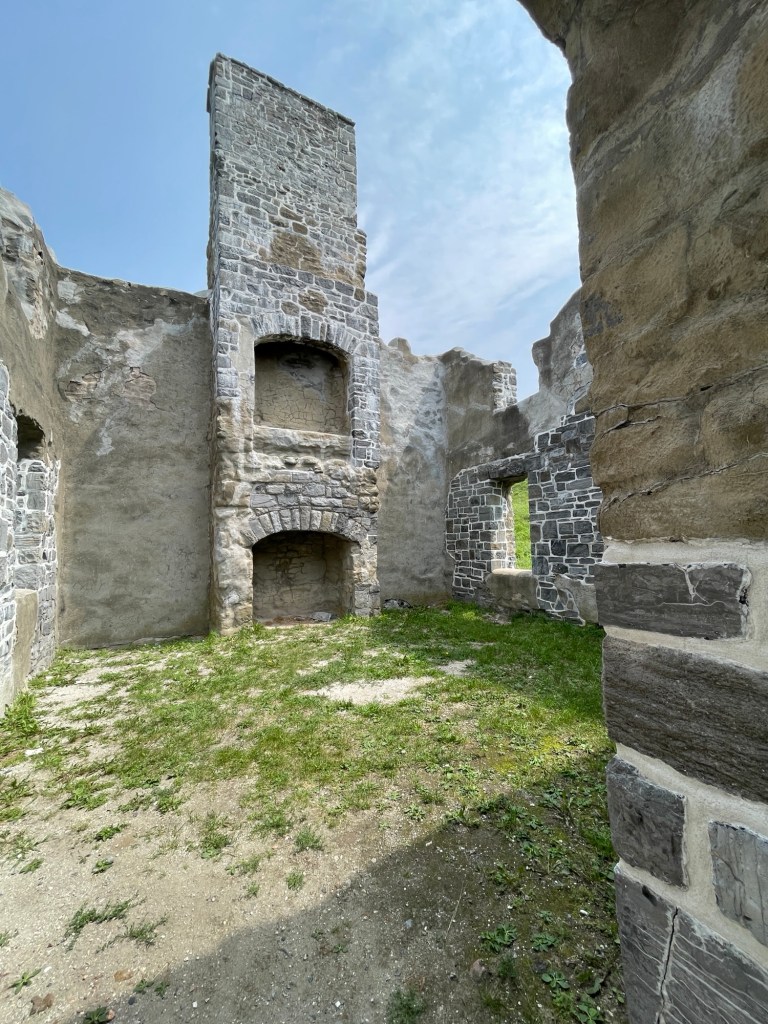
A rare surviving chimney in the officer’s barracks
In 1773, a chimney fire spread to the fort’s wooden walls and then to the powder magazine, resulting in an explosion that destroyed most of the main part of the fort. With the fort in shambles, the hated French gone, and other areas causing concern (looking at you, Boston), His Majesty’s troops started getting sent to other points. By the time Vermonter and Continental Army Colonel Seth Warner and 100 Green Mountain Boys arrived in 1775, only a minuscule number of soldiers remained. They surrendered the fort and it began its slow melt back into the landscape.
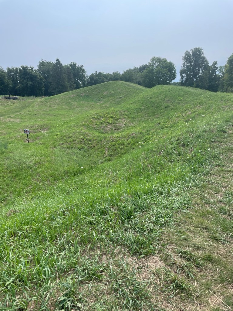
Divots show where the bomb-proofs (sheltering points during shelling) were located
Crown Point was used intermittently as a staging area for the Americans and later for the British, but it never again played a substantial military role.
Side note:
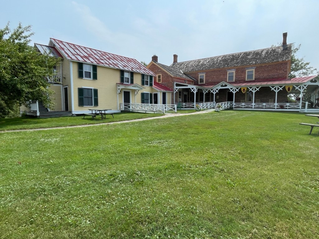
Not long after the war’s end, tourism to points vital to the American Revolution became a reality. And if there are tourists, there will be tourism-based businesses. Chimney Point, which saw it all, is no exception.
Thomas Jefferson and James Madison lodged at this former tavern (now a museum) at the Chimney Point water crossing in 1791
Yesterday we drove an hour and a half to Derry, NH, to see an early home of the American poet, Robert Frost. It was closed. We ate lunch and then we drove all the way back. 3 hours. For nada. Just in case you’re tempted to idealize our existence from time to time.
So I’m going to write about Calvin Coolidge, “Silent Cal,” one of the US’s least known presidents, instead.
“Whether one traces his Americanism back three centuries to the Mayflower, or three years to steerage, is not half so important as whether his Americanism of today is real and genuine. No matter by what various crafts we came here, we are all now in the same boat.”
And what a boat it is.
Few topics are generally less interesting to me than politicians, with very few exceptions. I did not expect Calvin Coolidge to become one of those exceptions.
Seeing a little icon on my phone’s map as we drove to NY last week and wanting a break from driving, we stopped at the unassuming Vermont State Historical Site preserving Calvin Coolidge’s childhood home, the village of Plymouth Notch where he and his extended family lived, and where his first Summer White House was located. I’m glad we did.
I knew very little about the 30th president except that his administration dodged the 1929 Stock Exchange crash and the following Great Depression by mere months. Portrayed by fellow politicians, Washington high society, and the press as dour for his New England brusqueness and asocial for his lack of loquaciousness earned Calvin Coolidge the moniker “Silent Cal.” This is quite the misnomer considering that Coolidge wrote and delivered more speeches, wrote a weekly news column, and as one of the first radio presidents was heard by more citizens nationwide than any other president of that era.
After doing some additional reading about Coolidge, including his unedited autobiography (I recommend avoiding the edited version), I’ve come to find more common ground with him than I expected. I’ve included some quotes that especially resonated with me (seen in italics).
Calvin Coolidge remembers his childhood community and especially his father and grandfather as setting solid examples of thrift, hard work, straight dealings, public service, and treating everyone as equals. They probably all made great neighbors. The community’s only disdain, he later remarked, was for those who put on airs and thought themselves above others. I can only imagine what they’d make of the world today.
“Character is the only secure foundation of the State.”
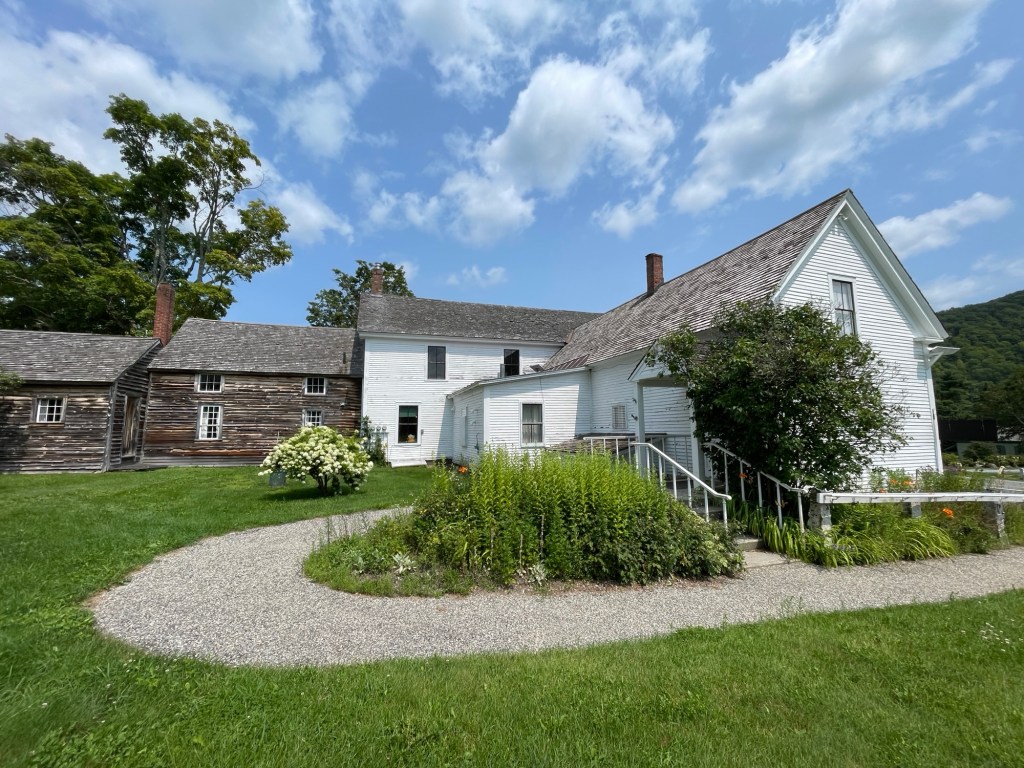
Calvin Coolidge was born in this home, attached to the general stone that his father owned at the time, but which his father sold later to pursue cheese making
Vice President Coolidge ascended to the nation’s highest office after the sudden death of President Harding. Since Coolidge, his wife, and boys were back visiting their families for the holidays, and his father was a notary public, the Coolidges alone can lay claim to a son being inaugurated by his father (on a copy of the Constitution in the dead of night in his parents’ living room).
“The Constitution is the sole source and guarantee of national freedom.”
Coolidge vowed to continue the Harding administration’s goals of scaling back WWI tax increases while also paying down the debt that the nation had taken on to fund the war. He carried his beliefs about responsible personal finance with him into his political career, to the benefit of the nation.
“Public debt [is] a burden on all the people.”
“Economy is the method by which we prepare today to afford the improvements of tomorrow.”
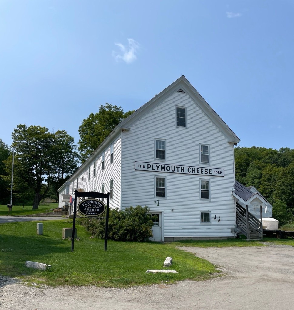
Coolidge’s father’s original recipes are still being used to create several styles of wax sealed cheese. Jeff tells me the samples were delicious.
He announced, however, that he would exact these results ‘in his own manner,’ alluding to the multiple growing scandals related to grift, corruption, and back door deals that were tied to the Harding administration.
“There is no surer road to destruction than prosperity without character.”
“The right thing to do never requires any subterfuge; it is always simple and direct.”
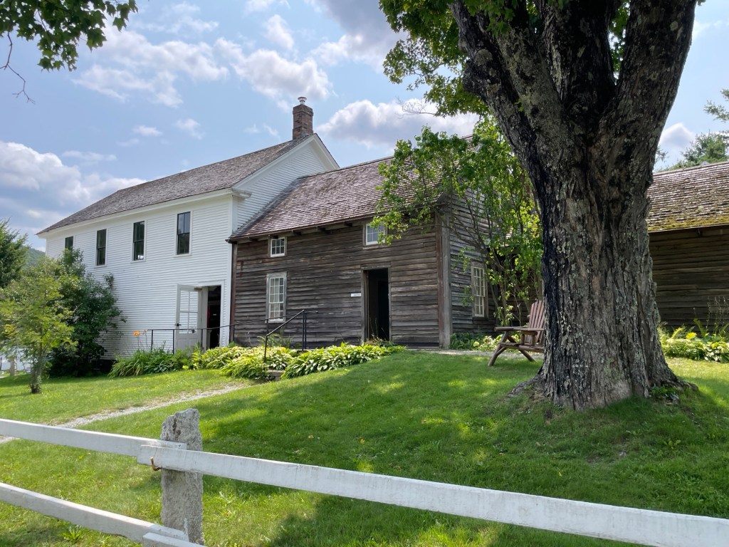
An example of New England long (add-on) construction. The upper story of the nearest building housed Coolidge’s Summer White House.
Before the advent of air conditioning, the Summer White House was the name given to the temporary country retreat of the Chief Executive. It was usually in a cooler and less humid region during Congress’ traditional summer break. Coolidge was known for picking spots that offered good fishing opportunities. A man after Jeff’s own heart. All he required was a secure place to do the Nation’s important work, not an ostentatious display so that he could try to feel important.
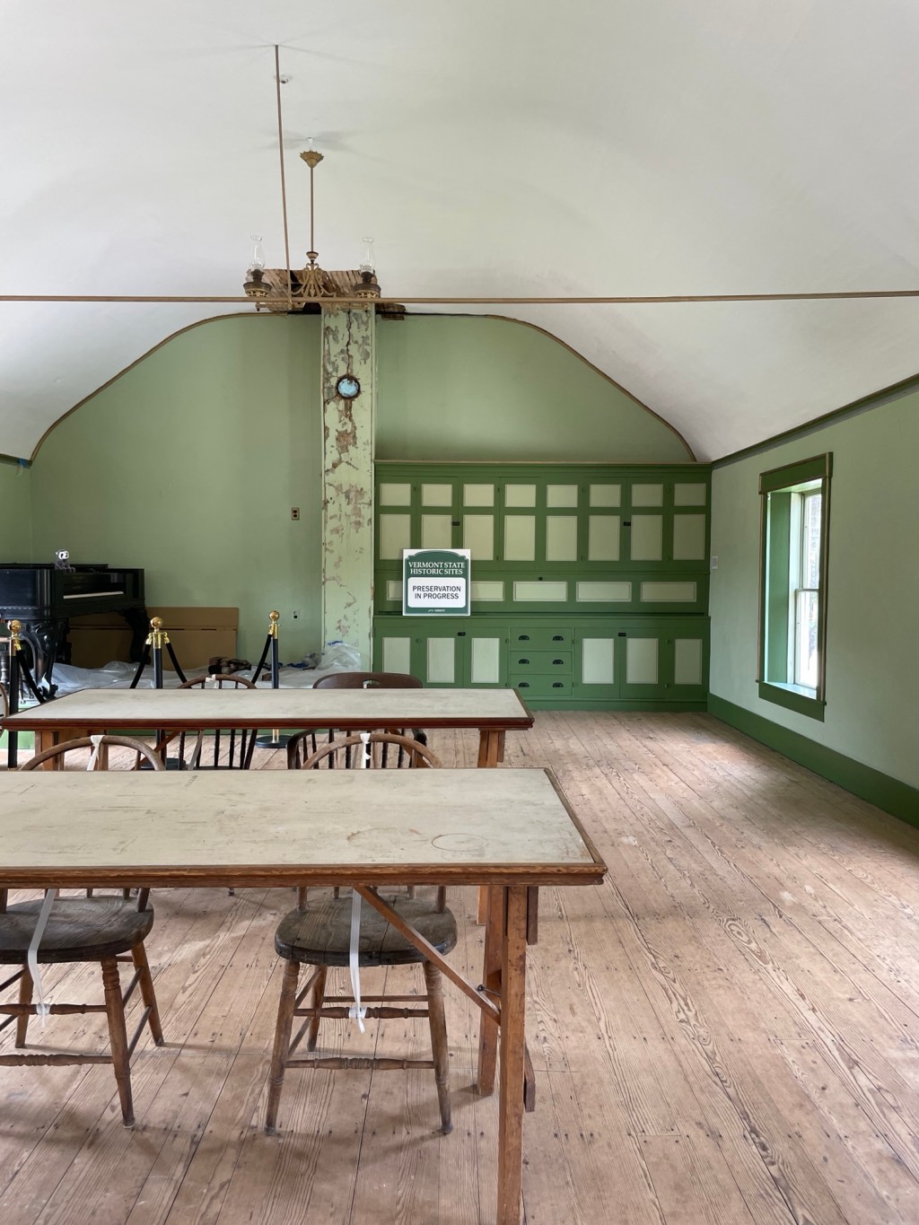
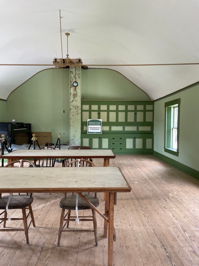
This is the Summer White House at Plymouth Notch in its entirety. A couple of simple tables and chairs, some drawers and cubbies, a square grand piano (left by the building’s owner), and a small mailbag room on the landing (not shown)
Not a bit of gold leaf in the whole place, and yet serious things still got done. Imagine that.
“Money will not purchase character or good government.”
While he and I would look at many political policies and personal beliefs differently, I find that I agree with him more often than I expected. He was a simple and straightforward leader and seems to have been beloved from coast to coast (except in the former confederate states, which at that time was a pretty strong argument for his decency as a human being). Therefore, his announcement in 1927 to not run for a second full term — which everyone at the time agreed he would have won easily — shocked the nation. But having done what he set out to do, he later said he felt it was the appropriate time to leave.
“When a man begins to feel that he is the only one who can lead in this Republic, he is guilty of treason to the spirit of our institutions.”
Noting,
“It is difficult for men in high office to avoid the malady of self-delusion. They are always surrounded by worshipers.”
And boy howdy, some men in high office sure do have a taste for being worshipped.
One day while the President was completing his first partial term, the Coolidges’ younger son, Calvin Jr, was playing tennis on the White House lawn. He got a blister on his foot which became infected, leading to sepsis. He died from blood poisoning — a horrible, painful death — and all his family could do was watch. A good reminder that the advancements of modern medicine are worth protecting.
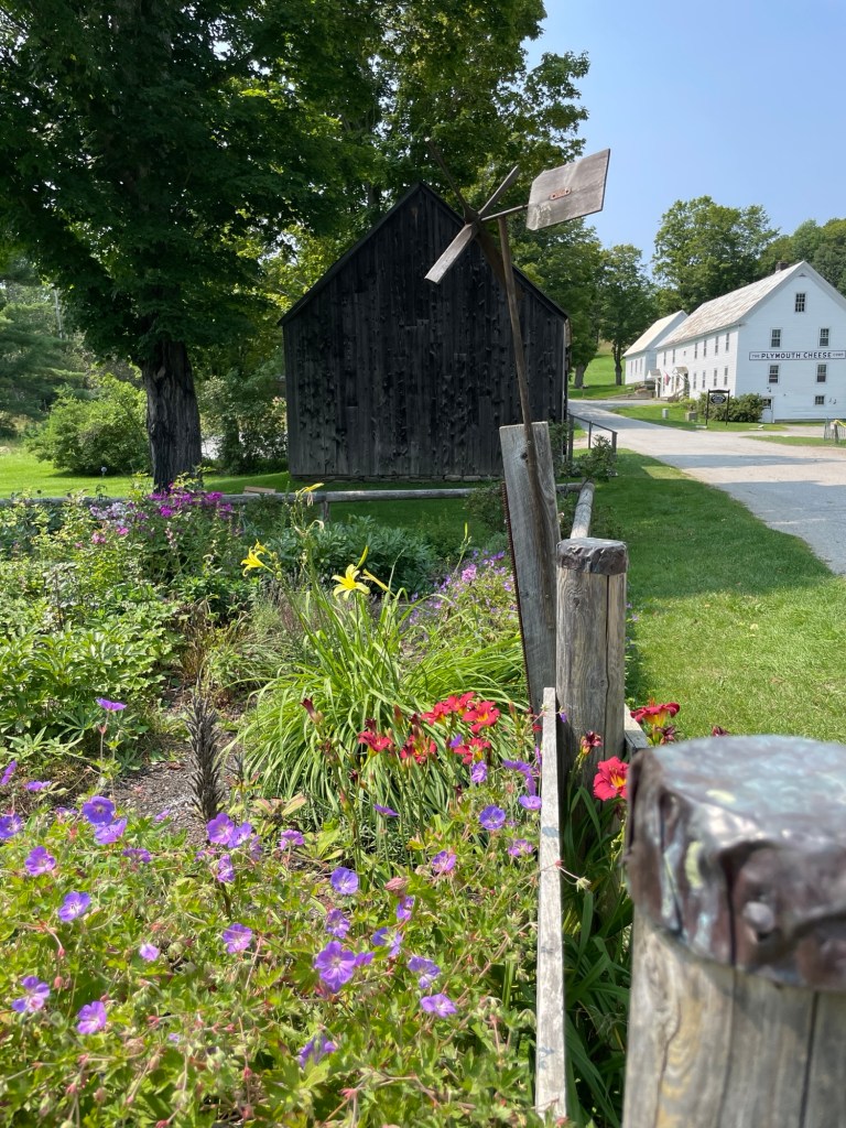
Calvin Jr made this little weathervane as a boy. It flutters still over the family’s flower garden.
Coolidge insisted that interest in representative government wasn’t a realm reserved only for pundits and politicians.
“Despotism has forever had a powerful hold upon the world. Autocratic government, not self-government, has been the prevailing state of mankind. The record of past history is the record, not of the success of republics, but of their failure.”
Consequently:
“If the people fail to vote, a government will be developed which is not their government… The whole system of American Government rests on the ballot box. Unless citizens perform their duties there, such a system of government is doomed to failure.”
Driving across the nation, you see lots of yard, window, and bar signs that proclaim, ‘Land of the Free Because of the Brave’ and ‘Freedom isn’t Free,’ but I have yet to see a sign that acknowledges this timely fact:
“Freedom is not only bought with a great price; it is maintained by unremitting effort.”
The argument that someone just doesn’t ‘do politics’ ignores the fact that politics will still very much ‘do’ them. It’s likewise too easy an excuse to simply declare that ‘all politicians are corrupt’ and not bother to dip an oar to help redirect the boat we find ourselves in, especially at the local and state level.
“What we need is not more Federal government, but better local government.”
Coolidge was a fierce proponent of equal rights his entire career. He wasn’t impressed by titles, wealth, or possessions. During his administration, citizenship was extended to all Native Americans and federal financial support was directed for the first time to open medical schools at Black universities.
“The most common commodity in this country is unrealized potential.”
He encourages us to remember that We the People, requires that we ensure every citizen’s rights and freedoms.
“Good citizenship is neither intricate nor involved. It is simple and direct. It is everyday common sense and justice.”
Justice. What a concept.
“One of the greatest perils to an extensive republic is the disregard of individual rights.”
In a national radio address, while he was in South Dakota and the Klan were marching in their bedsheets down Pennsylvania Avenue, Coolidge denounced a spectrum of racially discriminatory practices and pointedly shamed the illegal, immoral, and often politically sanctioned terrorizing of Black Americans by the Klan in the South.
“If all men are created equal, that is final. If they are endowed with inalienable rights, that is final.”
“American ideals do not require to be changed so much as they require to be understood and applied.”
But to know these ideals, citizens must first learn them. Coolidge was a fierce proponent of public education. As a child from a rural hamlet, Calvin acknowledged that it was his early schooling as much as his upbringing that allowed him to understand and appreciate the Constitution, both what it promised and what it required of its citizens, and which helped him succeed at all levels of government. He was surrounded by great educators, including his mother, step mother, sister, and wife who had all been public school teachers. The first two at his own one room community school (K-8), his sister in a nearby community, and his wife at a school for the deaf.
“School is not the end but only the beginning of an education.”
“My formal period of education was passed, though my studies are still pursued.”
Coolidge recognized that only an educated citizenry has a fighting chance of recognizing tyranny slinking in and appealing to our basest, most clannish instincts.
“When people are bewildered they tend to become credulous.”
“Wherever despotism abounds, the sources of public information are the first to be brought under its control.”
Coolidge recognized that the first move aspiring authoritarians make is to buy, direct, consolidate, or in other ways control the narrative. Our modern minds immediately go to Mussolini, Hitler, and Putin, but it has always been and continues to be that way. One need only look at some of our most popular sources of information — rage-bating social media feeds, fear-based news programming, podcasts that provide a curated mix of sensational half truths and outright lies, and crime-fo-tainment programming to desensitize the populace — and the rich and power-hungry people who own, manage, and direct them.
Coolidge took his position as President seriously, acknowledging that his behavior set the tone for the nation.
“The words of the President have an enormous weight and ought not to be used indiscriminately.”
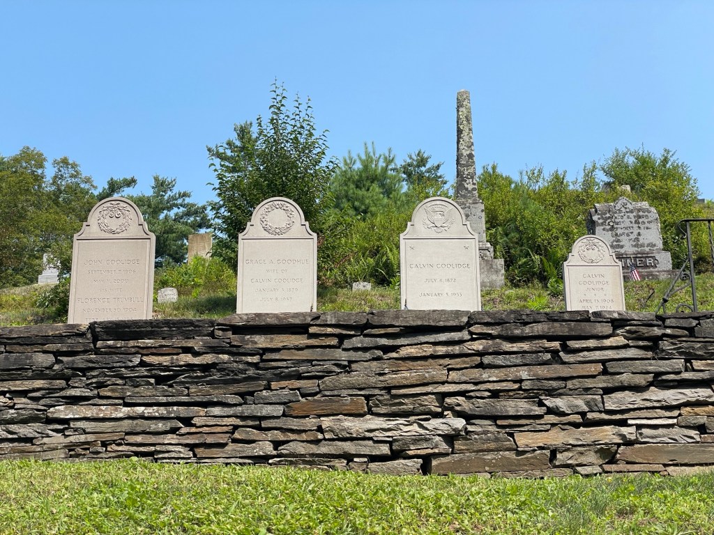
The grave of the President, no higher or ornate than his wife’s or father’s, is differentiated only by the Presidential seal. A smaller version for his son, Calvin Jr, rests beside the President’s.
“Politics is not an end, but a means. It is not a product, but a process. It is the art of government. Like other values it has its counterfeits. So much emphasis has been placed upon the false that the significance of the true has been obscured and politics has come to convey the meaning of crafty and cunning selfishness, instead of candid and sincere service.”
When I was in elementary school, the day after Labor Day always brought two unsharpened Ticonderoga #2 pencils, an unopened box of 8 Crayola crayons, and a fresh Pink Pearl eraser from my public school teachers. How or where the teachers got these supplies for their working class students never crossed my mind, but looking back they were probably supplied by the manufacturers to build brand loyalty in our still forming consumer minds. If so, it worked. From that point on, Ticonderoga, Crayola, and Pink Pearl were the gold standards. There might be differences in peanut butter brands among the elementary set — I mean, everyone knew that kid with Peter Pan brand peanut butter on his sandwich — but the playground brooked no dissent about The Big Three. We all knew it was better to have 8 Crayola’s in a basic box than a 64 pack of cheapo crayons, even if that big box did come with a built in sharpener. Jeff, a private school kid, says he did not share this experience.
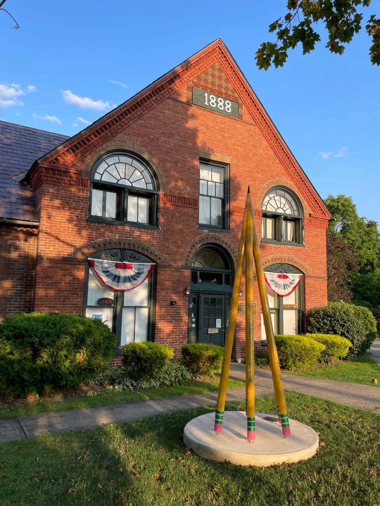
Imagine my surprise this week when I learned that my beloved pencils weren’t actually made in Ticonderoga, NY. Only the graphite was (originally) mined in the region and then processed in a mill along Ticonderoga’s swift little La Chute River. The pencils were actually made in New Jersey.
Yeah. New Jersey.
Clinging to the lie that is Ticonderoga pencils
Even more than for graphite, grain, and lumber, the La Chute River powered multiple paper mills after the wood pulp process was improved and industrialized. By buying up their competitors, International Paper ended up running mills across a significant part of the town’s river frontage. After deciding to move to a larger and more modern facility a few miles away, the company dismantled their buildings and donated the land to the city for parks and green space.
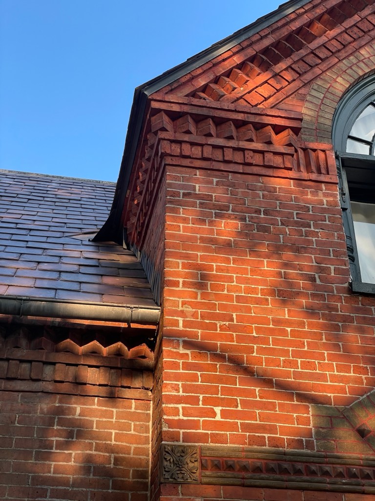
The photo above and below, of a building that was once part of the the International Paper office complex, is now home to the city’s historical society. It has some interesting features and is a lovely tie between the eras. I’m glad they were able to save and repurpose it.
The decorative stone and brick work from that era makes my heart happy
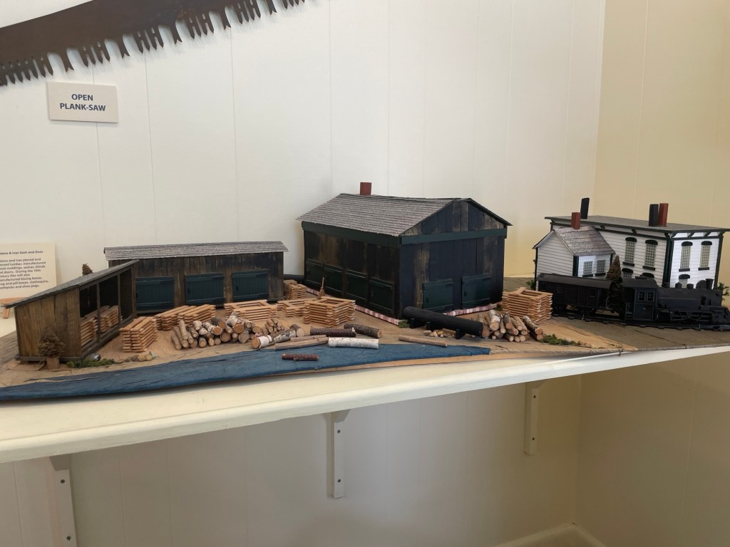
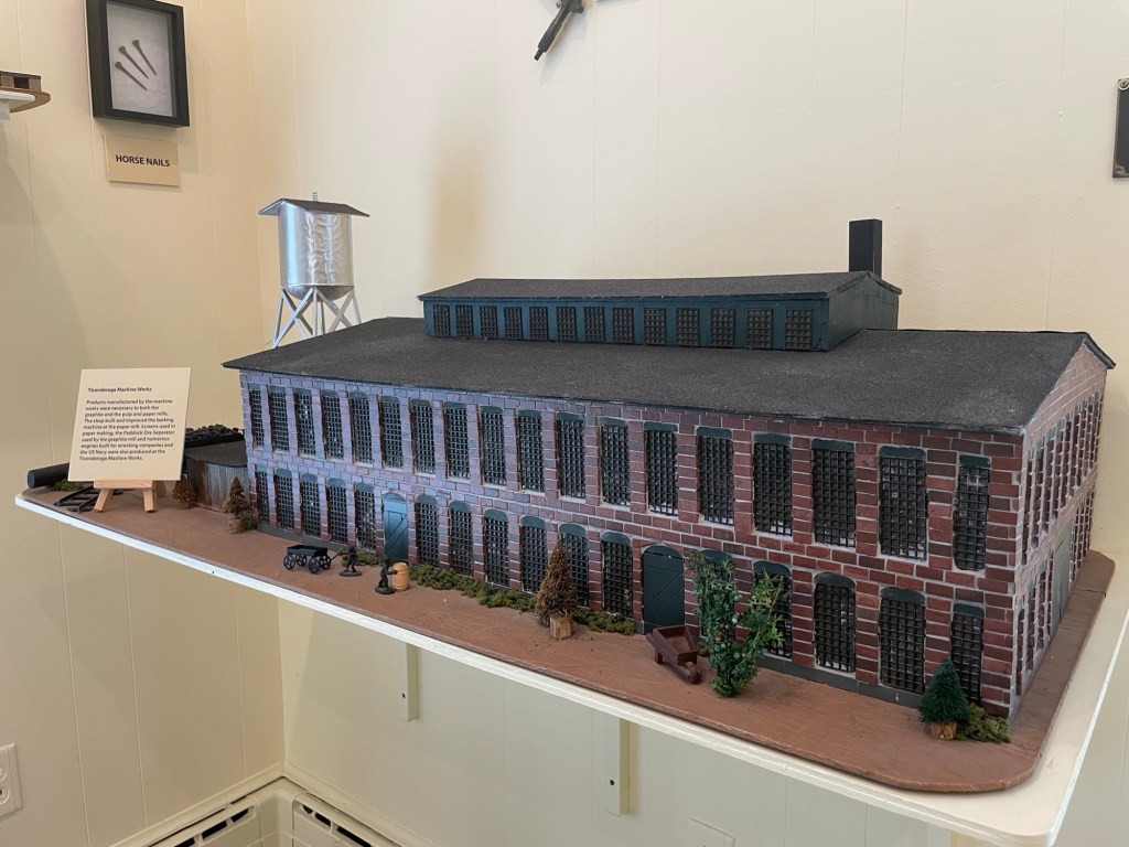
A helpful woman at the historical society desk took the time to tell us about the museum, the historically accurate diorama sets painstakingly built by a local woman over many years, and pointed out significant spots on a ‘past & present’ map for further exploration on foot. She didn’t have to. She could have stayed in her seat and just waved us in, but she took the time. And I appreciate that. It’s people like her that help locals and visitors alike feel connected to a region’s history.
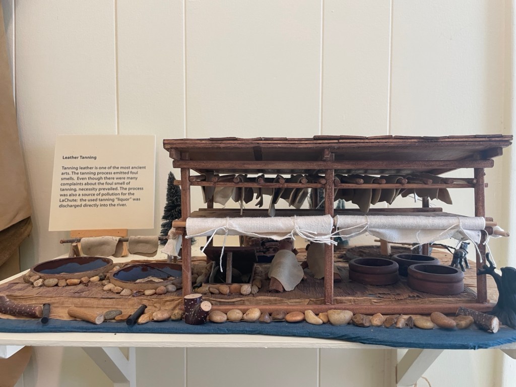
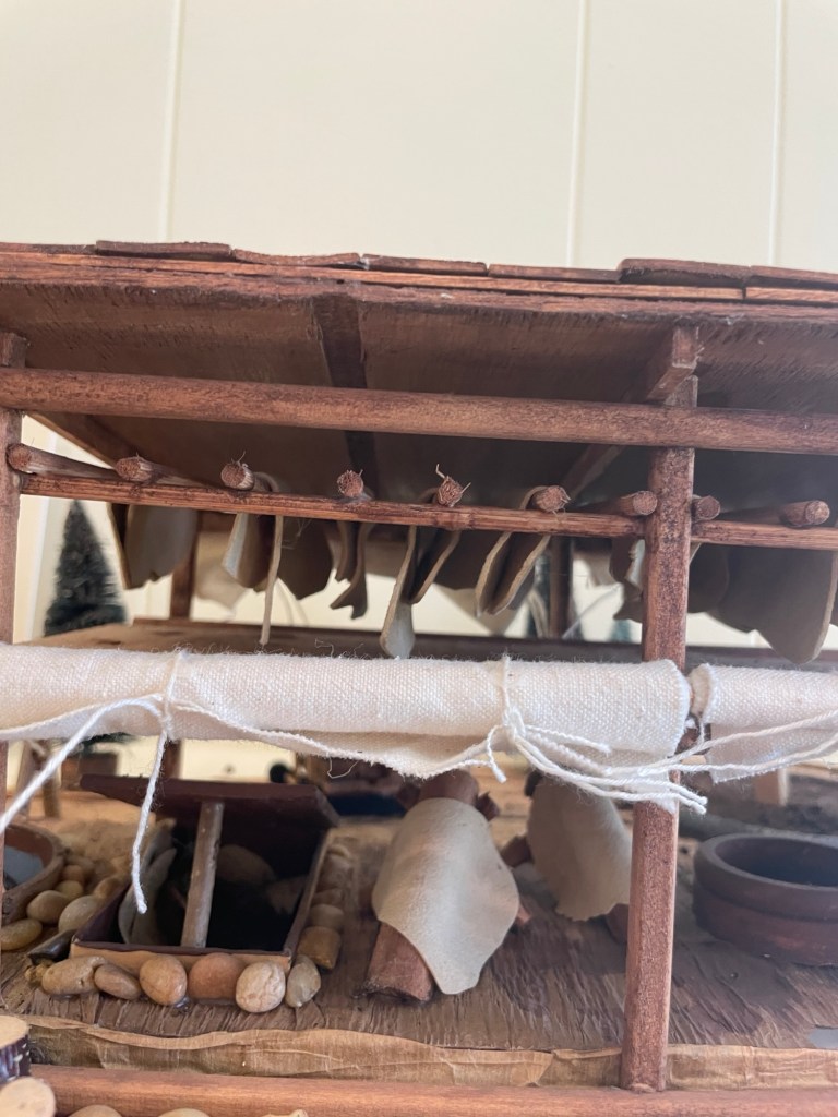
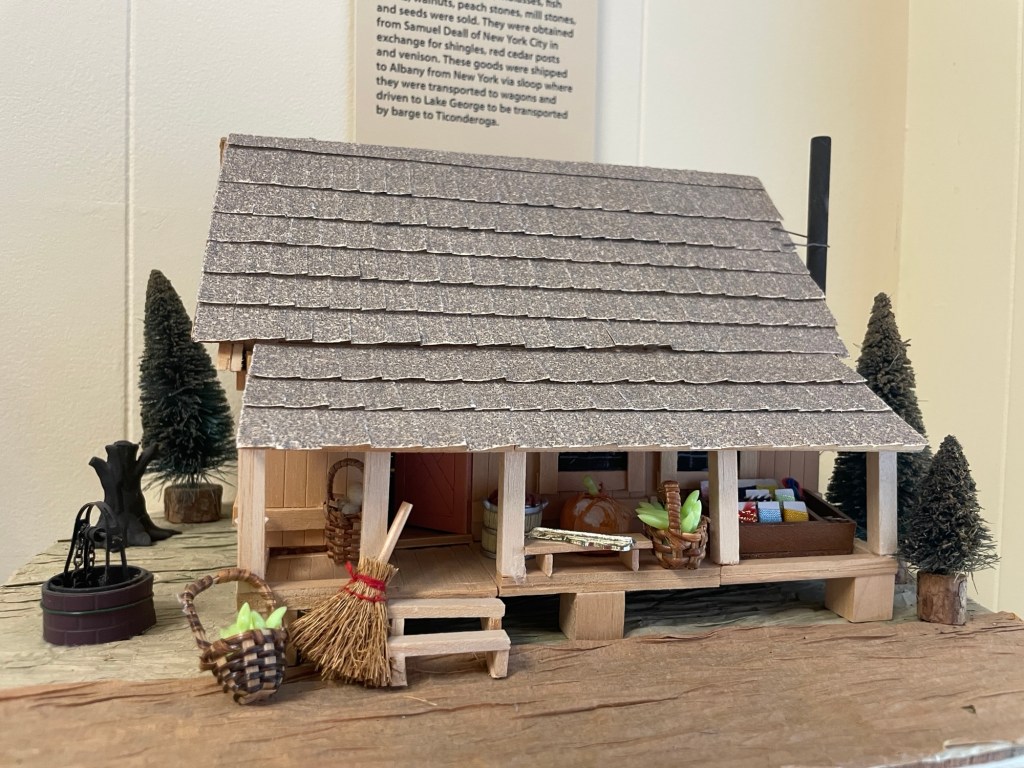
Delano & Ives Sash & Door “Delano and Ives planed and processed lumber, manufactured wood moldings, sashes, blinds and doors. During the 19th century this mill also manufactured bluing boxes, drug and pill boxes, clothespins, toothpicks and shoe pegs.”Ticonderoga Machine Works “Products manufactured by the machine works were necessary to both the graphite and pulp and paper mills. The shop built and improved the barking machine at the paper mills. Screens used in paper making, the Paddock Ore Separator used by the graphite mill and numerous engines used for wrecking companies and the US Navy were also produced at the Ticonderoga Machine Works.”Leather tanning processSuch attention to detail!Leather Tanning “Leather tanning is one of the most ancient arts. The tanning process emitted foul smells. Even though there were many complaints about the foul smell of tanning, necessity prevailed. The process was also a source of pollution for the La Chute; the tanning ‘liquor’ was discharged directly into the river.”John Stoughton’s Store “This store, 1764, was located near the lower falls where casks of fine Jamaica Spirits, powdered sugar, molasses, fish hooks, walnuts, peach stones, mill stones, and seeds were sold. They were obtained from Samuel Deall of New York City in exchange for shingles, red cedar posts and venison. These goods were shipped to Albany from New York via sloop where they were transported to wagons and driven to Lake George to be transported by barge to Ticonderoga.”
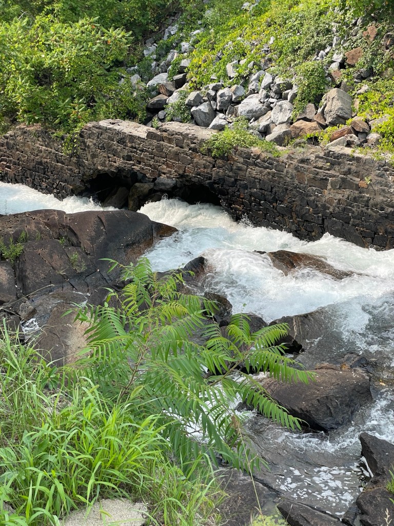
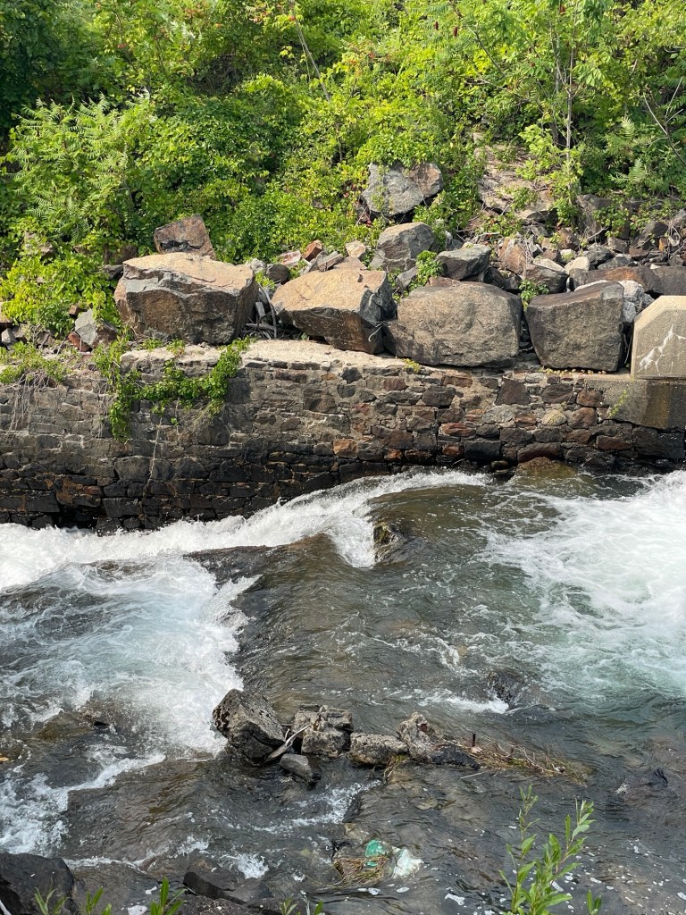
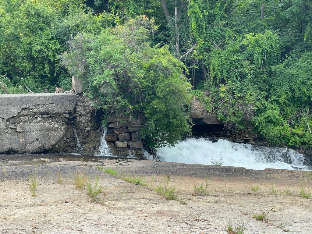
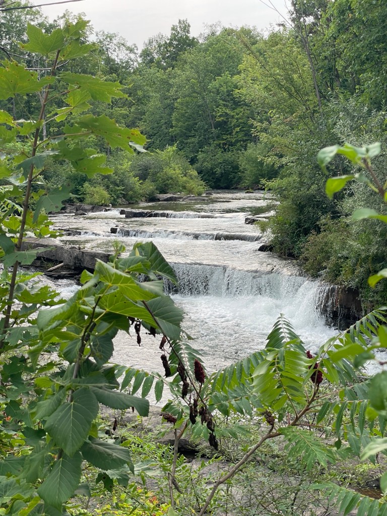
While walking the town’s three mile La Chute waterfall trail, we followed the river’s 200 foot drop across several falls down from the level of Lake George to that of Lake Champlain. Below you can see examples of the scouring effect of fast moving water on rock.
This wall of stones has been completely undermined and is about to give wayThe swirling water coming out of the nearby sluice gate has riven a U-shaped hole into the riverbedThis dam near the center of town is seeping water from between stones and under its foundations. That’s not good.Jeff called this Ticonderoga’s own little Tahquamenon Falls
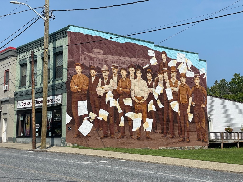
Ticonderoga has several beautiful murals around town, including this one related to its paper making past.
Like many American post-industrial towns, downtown Ticonderoga is struggling and there doesn’t appear to be much for people, teens especially, to do. Tourist lodging appears to be the main draw these days, with most storefronts shuttered, although a few restaurants seem to be holding their own.
We read that Paper & Pencil, the only spot open for dinner on Sunday nights, was in a former factory building. What we didn’t know until a few days later is that the building was a former coffin factory. Probably best that they didn’t go with that fact for the name.
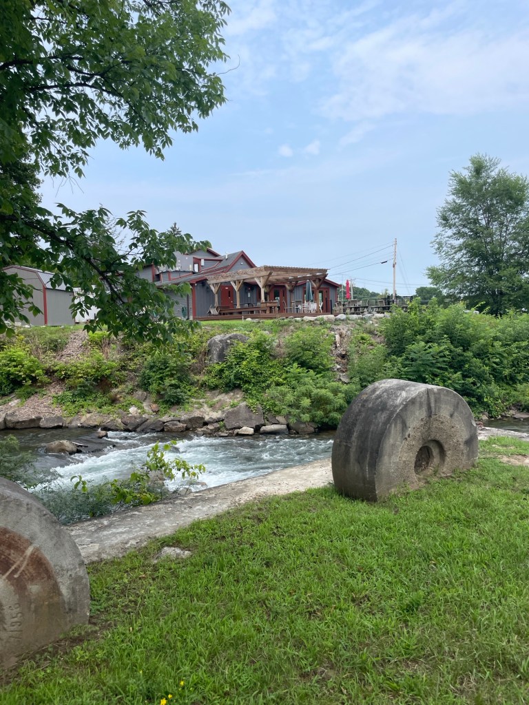
Old millstones are used to line the river (opposite is the Paper & Pencil patio)
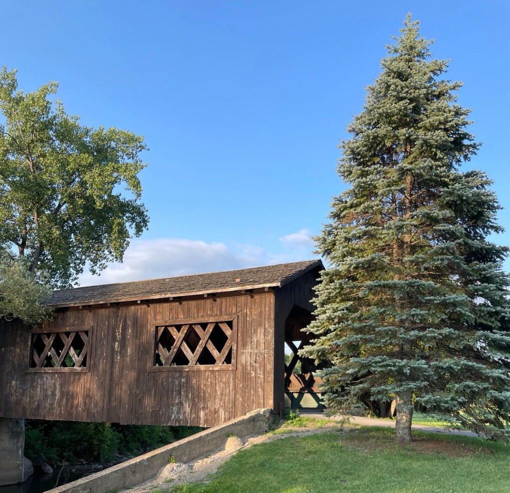
Side note: pleasing photography is often as much about what isn’t shown. For example, I cropped this little covered bridge in the city park quite tightly to hide the ugly features surrounding it on all sides. Pixel magic and pixie dust.
An idealized version of reality
Now, why is tourist lodging Ticonderoga’s main industry these days? Because Fort Ticonderoga, which had an outsized role in driving the British from Boston during the Revolutionary War, is right down the road. But that’s getting ahead of ourselves.
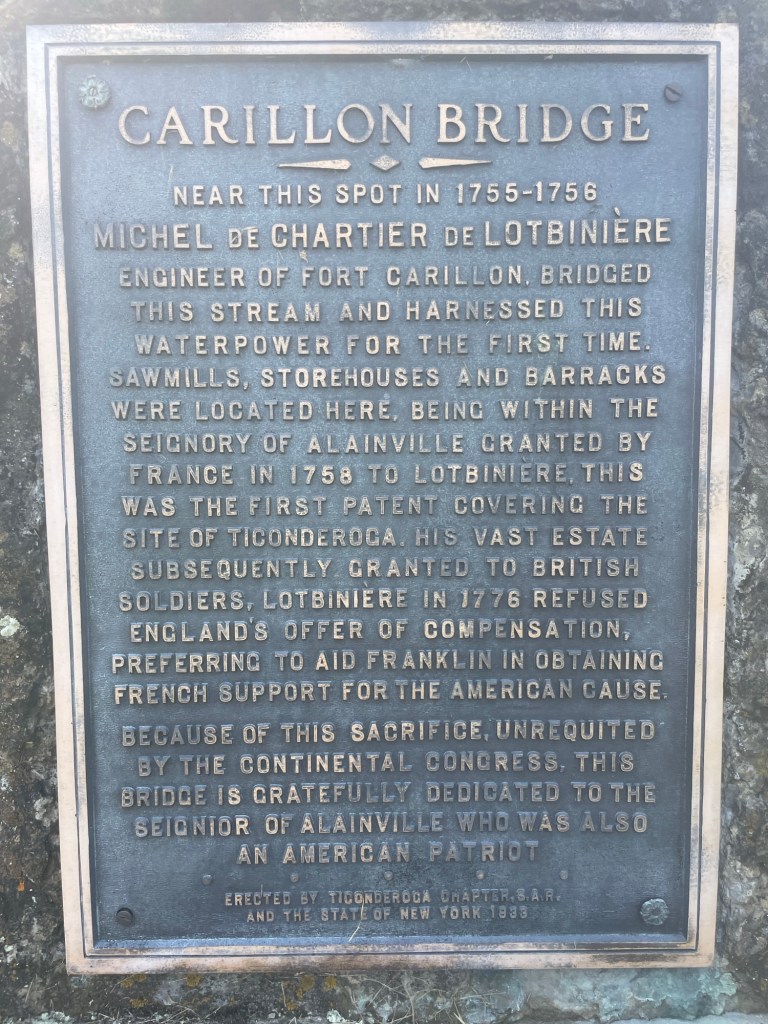
Before it was Fort Ticonderoga, it was a French fortification called Fort Carillon, begun in 1755 from wood they milled at the very first lumber mill on the shores of Rivière de La Chute.
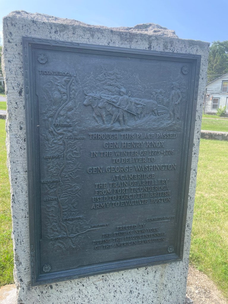
In 1759 the British captured Fort Carillon and renamed it Fort Ticonderoga after the nearby settlement, which is still referred to by its Iroquois term, meaning between two waters. Fort Ticonderoga fell to Ethan Allen and Benedict Arnold for the Americans in 1775 (before Arnold’s sneaky snake traitor move). Henry Knox later led a train of desperately needed cannon and field artillery in the dead of winter south from Fort Ticonderoga, via Lake George, and then east overland to a much relieved George Washington, waiting uneasily outside of Boston.
Copies of this Henry Knox Trail Marker are found at spots all along the route he and his troops took through NY and MA
The British eventually retook the fort and held it the remainder of the war.
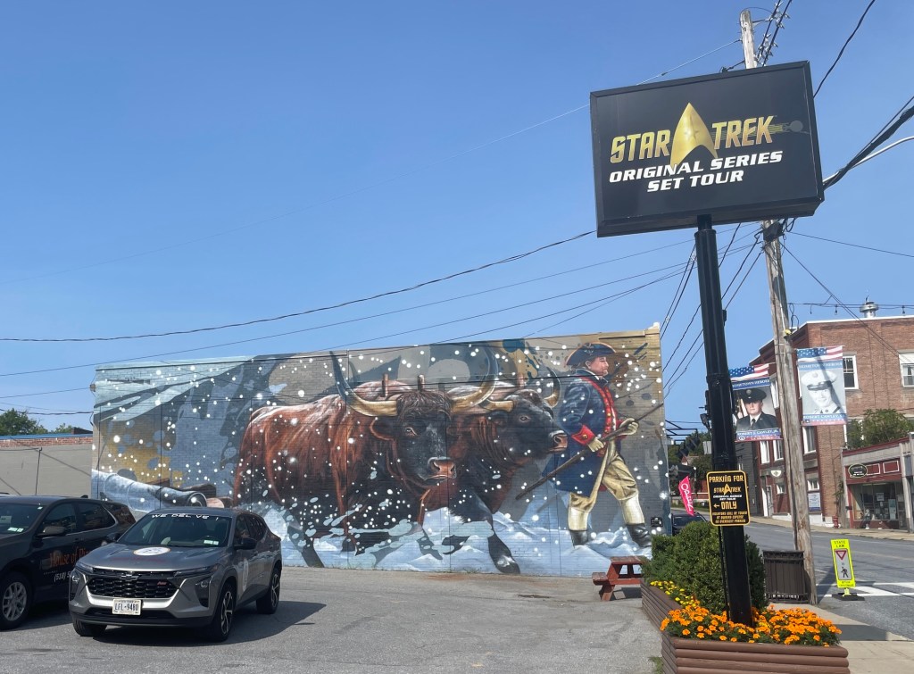
For reasons that are unknown to me, Ticonderoga is also home to a full and exact set of replica studio sets based on blueprints from the original Star Trek series. I love the juxtaposition in this photograph. I certainly didn’t expect to find a gorgeously painted, history-rich mural of Henry Knox beside a minimalistic sign for the ultra campy futuristic TV show.